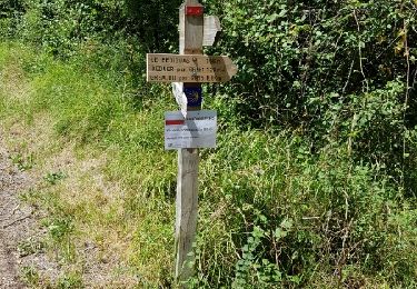
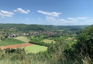
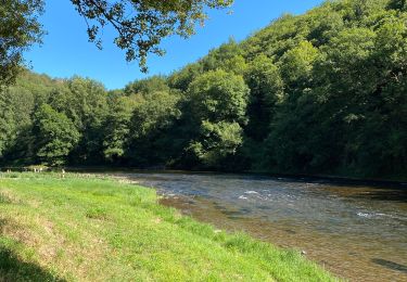
Randonnée V.T.T. Capdenac-Gare - capdenac  - Photo
 xamax12
xamax12

Utilisateur

© OpenStreetMap contributors
Longueur
Longueur
34 km
Altitude max
Altitude max
446 m
Dénivelé positif
Dénivelé positif
854 m
Km-Effort
Km-Effort  
45 km
Altitude min
Altitude min
165 m
Dénivelé négatif
Dénivelé négatif
852 m
Boucle
Boucle
Oui
Date de création :
2014-12-10 00:00:00.0
Dernière modification :
2014-12-10 00:00:00.0

(1 Avis)

V.T.T.
V.T.T.
4h13
Difficulté : Moyen

Scannez ce code QR pour ouvrir la randonnée dans l'application SityTrail

Application GPS de randonnée GRATUITE

Logo SityTrail SityTrail

IGN / Instituts géographiques

Télécharger SityTrail sur l'App Store Télécharger SityTrail sur Google Play

Logo SityTrail SityTrail World

Le monde est à vous

Télécharger SityTrail sur l'App Store Télécharger SityTrail sur Google Play Télécharger SityTrail sur Huawei AppGallery

À propos

Randonnée V.T.T. de 34 km à découvrir à Occitanie, Aveyron, Capdenac-Gare. Cette randonnée est proposée par xamax12.

Description

Capdenac

Profil altimétrique

Photos

Localisation

Pays :
France
Région :
Occitanie
Département/Province :
Aveyron
Commune :
Capdenac-Gare
Localité :
Unknown
Départ:(Dec)
Départ:(UTM)
427248 ; 4936241 (31T) N.

Commentaires

Veuillez vous connecter pour laisser un commentaire ou une note


Boucle Villeneuve St Rémy Les Cavaliers Pauty - Belle ballade difficulté moyenne.


Randonnées à proximité

Randonnée Marche Cuzac - çuzac - Photo
Marche
lascap12

Marche

Difficile
(1)
Cuzac, Occitanie, Lot, France
17,6 km | 24 km-effort
4h 24min
Oui
Randonnée Marche Figeac - Compostelle 2: 1-Figeac - Espagnac - Photo
Marche
prv

Marche

Moyen
(1)
Figeac, Occitanie, Lot, France
27 km | 34 km-effort
6h 35min
Non
Randonnée Marche Figeac - Etape13 Figeac a Carjac - Photo
Marche
lesduj

Marche

Difficile
Figeac, Occitanie, Lot, France
32 km | 42 km-effort
7h 40min
Non
Randonnée Marche Figeac - CC_Velay_CC_12_Figeac_Cajarc_20071103 - Photo
Marche
patrickdanilo

Marche

Moyen
(1)
Figeac, Occitanie, Lot, France
30 km | 39 km-effort
7h 0min
Non
Randonnée Marche Cuzac - çuzac - Photo
Marche
lascap12

Marche

Difficile
Cuzac, Occitanie, Lot, France
17,6 km | 24 km-effort
4h 24min
Oui
Randonnée Vélo Capdenac-Gare - Circuit des 10 plus beaux villages de France de l'Aveyron - Capdenac - Entragues sur Truyère - Photo
Vélo
tracegps

Vélo

Difficile
Capdenac-Gare, Occitanie, Aveyron, France
101 km | 123 km-effort
6h 0min
Non
Randonnée sport Figeac - 20240418 Figeac (hôtel les Bains)-Rian (les ânes du Célé) - Photo
sport
ThonyM

sport

Très facile
Figeac, Occitanie, Lot, France
24 km | 31 km-effort
Inconnu
Non
Randonnée Marche Saint-Jean-Mirabel - Saint jean de mirabel - Photo
Marche
thomas.o.vert

Marche

Moyen
Saint-Jean-Mirabel, Occitanie, Lot, France
17,5 km | 22 km-effort
5h 8min
Oui
Randonnée sport Capdenac-Gare - Capdenac le fel - Photo
sport
Glurps

sport

Très facile
Capdenac-Gare, Occitanie, Aveyron, France
66 km | 82 km-effort
Inconnu
Non


Fermer
Mes abonnements