


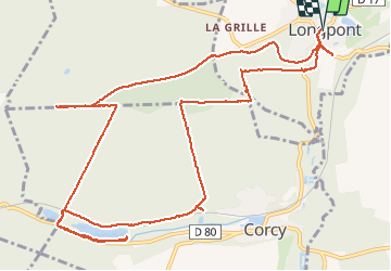


17,5 km | 21 km-effort

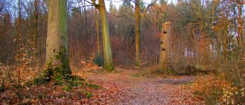
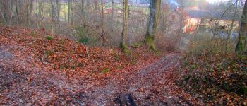
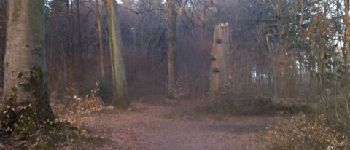
forêts de France


Application GPS de randonnée GRATUITE
 SityTrail
IGN / Instituts géographiques
SityTrail World
Le monde est à vous
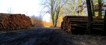
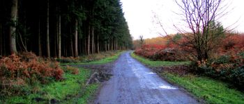
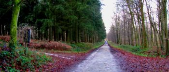
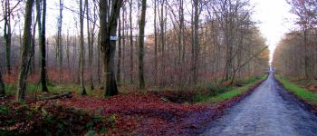
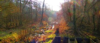
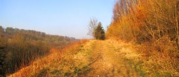
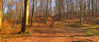
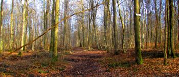
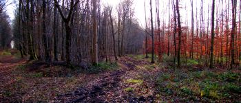
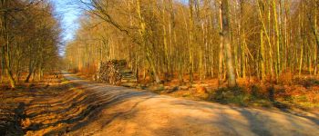
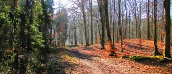
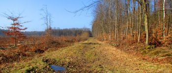
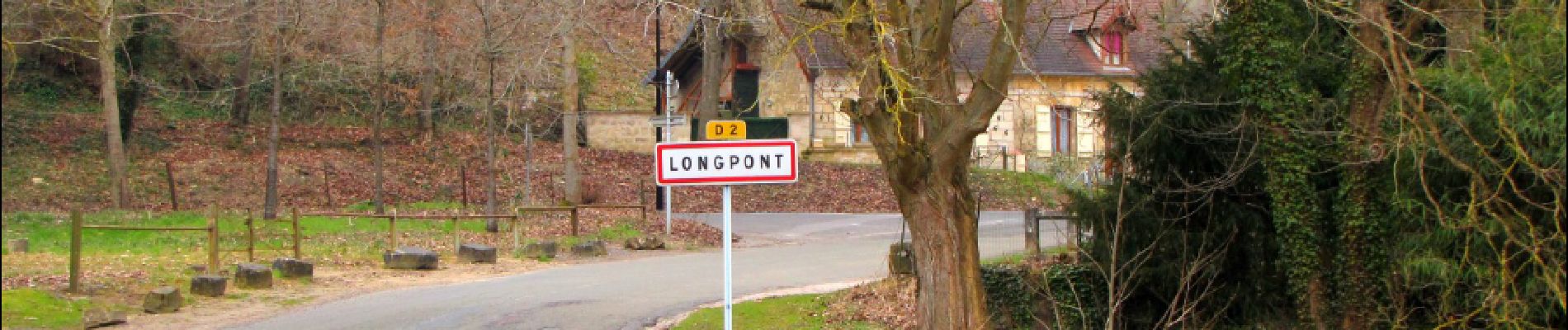
Randonnée Marche de 14,6 km à découvrir à Hauts-de-France, Aisne, Longpont. Cette randonnée est proposée par en forêt de Retz.
04/2013
voir aussi: https://foret-de-retz.over-blog.com/2017/03/en-foret-de-retz_17_04_2013_longpont_etangs-de-la-ramee_ar.html
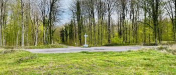
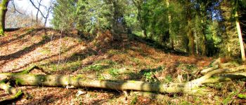
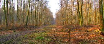
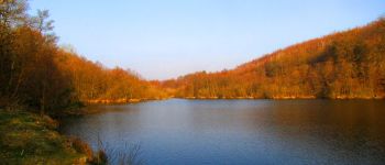
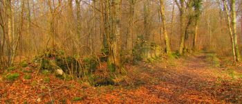
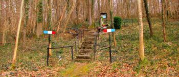
A partir de l'abbaye de Longpont, prendre le GR11A "aux trois maisons". Rejoindre le vieux chemin de Longpont et continuer jusqu''à la Croix Bacquet. Puis revenir sur ses pas et prendre la route du Pendu. Au carrefour de Château Fée, prendre la laie de la route Droite jusqu''à la voie ferrée. Passer la fontaine du Prince et suivre le ruisseau le long de la D80 jusqu''à l''étang de la Grande Ramée. Revenir par le même chemin jusqu''à la voie ferrée. Traverser la voie ferrée et prendre le chemin à droite. Continuer en longeant la voie ferrée jusqu''au carrefour de Bigoret. Prendre la laie des Grands Charmes jusqu'au carrefour de la Tartarine. Prendre à droite la route du Pendu jusqu'au carrefour du Pendu. Rejoindre la laie du Vieux Mur (GPS conseillé). Quelques centaines de mètres plus loin, prendre à droite un chemin en direction du monument de l''Aviateur. Puis prendre la route de Corcy et rejoindre Longpont après avoir été jusqu'au pont de la Savière sur la droite de la D2.


88 photos au total. Cliquez sur une photo pour les afficher toutes dans la galerie.

Marche

Marche

Marche

A pied

A pied

Marche

Marche

Marche

Marche