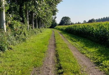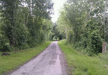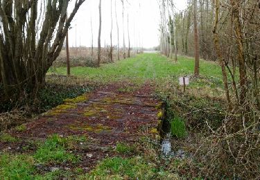

Mauzé sur le Mignon village

olaze
Utilisateur

Longueur
10,7 km

Altitude max
24 m

Dénivelé positif
55 m

Km-Effort
11,5 km

Altitude min
5 m

Dénivelé négatif
56 m
Boucle
Oui
Date de création :
2016-03-09 00:00:00.0
Dernière modification :
2016-03-09 00:00:00.0
2h32
Difficulté : Facile

Application GPS de randonnée GRATUITE
À propos
Randonnée Marche de 10,7 km à découvrir à Nouvelle-Aquitaine, Deux-Sèvres, Mauzé-sur-le-Mignon. Cette randonnée est proposée par olaze.
Description
Départ parking de léglise.
Promenade dans village.Le long du Mignon, jusque l''écluse de Chaban.
Club rando Bessines 03/2013
Localisation
Pays :
France
Région :
Nouvelle-Aquitaine
Département/Province :
Deux-Sèvres
Commune :
Mauzé-sur-le-Mignon
Localité :
Unknown
Départ:(Dec)
Départ:(UTM)
679720 ; 5118493 (30T) N.
Commentaires
Randonnées à proximité

cramchaban


Marche
Très facile
Cramchaban,
Nouvelle-Aquitaine,
Charente-Maritime,
France

8,3 km | 8,7 km-effort
2h 20min
Oui

Le Bourdet - 10km


Marche
Facile
Le Bourdet,
Nouvelle-Aquitaine,
Deux-Sèvres,
France

10,5 km | 11,1 km-effort
2h 28min
Oui

Cramchaban


Marche
Très difficile
Cramchaban,
Nouvelle-Aquitaine,
Charente-Maritime,
France

52 km | 56 km-effort
4h 3min
Non

Prin Deyrançon 2


Marche
Facile
Prin-Deyrançon,
Nouvelle-Aquitaine,
Deux-Sèvres,
France

8,4 km | 9,1 km-effort
2h 9min
Oui

Mauzé sur Le Mignon .Village


Marche
Facile
Mauzé-sur-le-Mignon,
Nouvelle-Aquitaine,
Deux-Sèvres,
France

9,8 km | 10,5 km-effort
2h 19min
Oui

Le Bourdet . Deux-Sèvres. 79


Marche
Facile
Le Bourdet,
Nouvelle-Aquitaine,
Deux-Sèvres,
France

8,6 km | 9,2 km-effort
2h 9min
Oui

Mauze sur le Mignon


Marche
Facile
Mauzé-sur-le-Mignon,
Nouvelle-Aquitaine,
Deux-Sèvres,
France

10,6 km | 11,1 km-effort
2h 25min
Oui

Saint-Pierre-d'Amilly


Marche
Facile
Saint-Pierre-d'Amilly,
Nouvelle-Aquitaine,
Charente-Maritime,
France

8,8 km | 9,9 km-effort
2h 8min
Oui

Prin-Deyrançon


Marche
Moyen
Prin-Deyrançon,
Nouvelle-Aquitaine,
Deux-Sèvres,
France

8,4 km | 9,1 km-effort
Inconnu
Oui


 SityTrail


gros soucis avec mon galaxy s5. gros carré blanc qui me cache une grosse partie de la carte. appli impossible à utiliser