

SR002-Pic de SUBESCALE

Polo-31
Utilisateur

Longueur
11,2 km

Altitude max
2419 m

Dénivelé positif
1052 m

Km-Effort
25 km

Altitude min
1432 m

Dénivelé négatif
1046 m
Boucle
Oui
Date de création :
2014-12-10 00:00:00.0
Dernière modification :
2014-12-10 00:00:00.0
5h00
Difficulté : Moyen

Application GPS de randonnée GRATUITE
À propos
Randonnée Raquettes à neige de 11,2 km à découvrir à Occitanie, Haute-Garonne, Saint-Aventin. Cette randonnée est proposée par Polo-31.
Description
Depuis le parking des Granges d'Espone juste avant les derniers virages de Superbagnère, remonter le vallon jusqu'au pic.
Localisation
Pays :
France
Région :
Occitanie
Département/Province :
Haute-Garonne
Commune :
Saint-Aventin
Localité :
Unknown
Départ:(Dec)
Départ:(UTM)
302495 ; 4736431 (31T) N.
Commentaires
Randonnées à proximité
Fonds de Burbe - Saint Mamet


Marche
Difficile
(1)
Saint-Mamet,
Occitanie,
Haute-Garonne,
France

15,6 km | 27 km-effort
4h 0min
Oui
Luchon Kbour


V.T.T.
Très difficile
(1)
Saint-Aventin,
Occitanie,
Haute-Garonne,
France

11 km | 16,7 km-effort
1h 0min
Non
Lac Vert, Boucle par l'Est


A pied
Facile
Castillon-de-Larboust,
Occitanie,
Haute-Garonne,
France

8,8 km | 19,5 km-effort
4h 26min
Non

GR 10 - 3


Marche
Moyen
(2)
Bagnères-de-Luchon,
Occitanie,
Haute-Garonne,
France

250 km | 489 km-effort
89h 8min
Non
Luchon via Saint Mamet


Marche
Moyen
Bagnères-de-Luchon,
Occitanie,
Haute-Garonne,
France

6,3 km | 9,6 km-effort
1h 47min
Oui
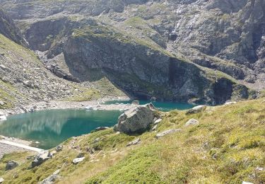
lac Charles, lac bleu, lac vert vallée du Lys


Marche
Difficile
Castillon-de-Larboust,
Occitanie,
Haute-Garonne,
France

15,1 km | 32 km-effort
11h 17min
Oui
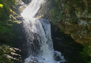
Cabane de la Coume


Marche
Difficile
Castillon-de-Larboust,
Occitanie,
Haute-Garonne,
France

9,1 km | 18,4 km-effort
3h 39min
Oui
2022 08 -Transpyrénéen 2 : Bagnères de Luchon -Fos


Marche
Très difficile
Bagnères-de-Luchon,
Occitanie,
Haute-Garonne,
France

30 km | 55 km-effort
7h 8min
Non
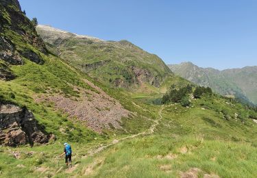
lacs vert et bleu en boucle


Marche
Difficile
Castillon-de-Larboust,
Occitanie,
Haute-Garonne,
France

15,2 km | 32 km-effort
9h 17min
Oui


 SityTrail


