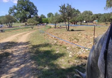
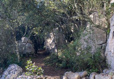
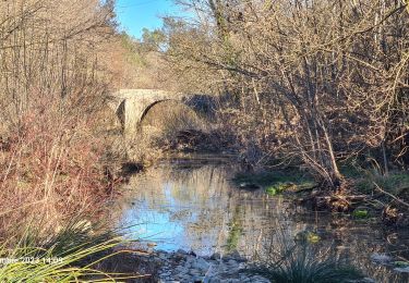
Randonnée Marche Carnas - Carnas bois de Paris - Photo

Carnas bois de Paris

 CAMBON
CAMBON

Utilisateur

© OpenStreetMap contributors
Longueur
Longueur
12,8 km
Altitude max
Altitude max
239 m
Dénivelé positif
Dénivelé positif
210 m
Km-Effort
Km-Effort  
15,6 km
Altitude min
Altitude min
86 m
Dénivelé négatif
Dénivelé négatif
209 m
Boucle
Boucle
Oui
Date de création :
2014-12-10 00:00:00.0
Dernière modification :
2014-12-10 00:00:00.0

(2 Avis)

Marche
Marche
4h00
Difficulté : Moyen

Scannez ce code QR pour ouvrir la randonnée dans l'application SityTrail

Application GPS de randonnée GRATUITE

Logo SityTrail SityTrail

IGN / Instituts géographiques

Télécharger SityTrail sur l'App Store Télécharger SityTrail sur Google Play

Logo SityTrail SityTrail World

Le monde est à vous

Télécharger SityTrail sur l'App Store Télécharger SityTrail sur Google Play Télécharger SityTrail sur Huawei AppGallery

À propos

Randonnée Marche de 12,8 km à découvrir à Occitanie, Gard, Carnas. Cette randonnée est proposée par CAMBON.

Description

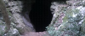
Promenade agréable, prévoir une lampe torche pour descendre avec prudence dans la grotte de Bois de Paris (escaliers aménagés)
         

Profil altimétrique

Photos

Points d'intérêt

Point d'intérêt Carnas - Point 2 - Photo
CAMBON
CARNAS 
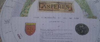
Point d'intérêt Aspères - Point 6 - Photo
CAMBON
ASPÈRES 
Point d'intérêt Aspères - Point 7 - Photo
CAMBON
ASPÈRES 

Localisation

Pays :
France
Région :
Occitanie
Département/Province :
Gard
Commune :
Carnas
Localité :
Unknown
Départ:(Dec)
Départ:(UTM)
579593 ; 4853883 (31T) N.

Commentaires

Veuillez vous connecter pour laisser un commentaire ou une note


belle randonnées par beau soleil d hiver. vues de la mer er du pic st loup.


Randonnées à proximité

Randonnée Randonnée équestre Orthoux-Sérignac-Quilhan - mas bas - corconnes en boucle - Photo
Randonnée équestre
GUIDE
David25400

Randonnée équestre

Moyen
Orthoux-Sérignac-Quilhan, Occitanie, Gard, France
22 km | 26 km-effort
4h 51min
Oui
Randonnée Marche Saint-Clément - Le bois de Paris - Grotte, Table d'orientation, Oppidum - Photo
Marche
f4tnk

Marche

Moyen
(1)
Saint-Clément, Occitanie, Gard, France
8,2 km | 10,9 km-effort
2h 29min
Oui
Randonnée Marche Corconne - 30 corconne - Photo
Marche
GUIDE
randodyssée

Marche

Facile
Corconne, Occitanie, Gard, France
8,8 km | 12,4 km-effort
3h 45min
Oui
Randonnée Marche Corconne - Corconne et la forêt de Coutach - Photo
Marche
grageot

Marche

Facile
(2)
Corconne, Occitanie, Gard, France
18,1 km | 25 km-effort
5h 26min
Oui
Randonnée Marche Corconne - Corconne - Photo
Marche
Ptitjack30

Marche

Moyen
(1)
Corconne, Occitanie, Gard, France
11,4 km | 15,2 km-effort
3h 28min
Non
Randonnée Marche Vacquières - chapelle D'Aleyrac vers vacquieres parc du duc - Photo
Marche
v.rabot

Marche

Difficile
Vacquières, Occitanie, Hérault, France
12,9 km | 15,3 km-effort
3h 28min
Oui
Randonnée Marche Aspères - Aspères - Photo
Marche
GUIDE
Roger Philippe Wallez

Marche

Difficile
Aspères, Occitanie, Gard, France
12,6 km | 16,4 km-effort
4h 26min
Oui
Randonnée Marche Corconne - 30 le mazet des gardes Corconne 8/11/23 - Photo
Marche
silvestreclaudine

Marche

Très difficile
Corconne, Occitanie, Gard, France
18,1 km | 24 km-effort
5h 21min
Oui
Randonnée Marche Aspères - Asperes-stClement-gailhan-lecques - Photo
Marche
v.rabot

Marche

Moyen
Aspères, Occitanie, Gard, France
16,3 km | 19,5 km-effort
4h 44min
Oui


Fermer
Mes abonnements