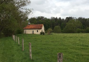
13,3 km | 16,4 km-effort
MJW 4-3
hubbi
Utilisateur
Longueur
9,1 km
Altitude max
369 m
Dénivelé positif
171 m
Km-Effort
11,5 km
Altitude min
280 m
Dénivelé négatif
202 m
Boucle
Non
Date de création :
2014-12-10 00:00:00.0
Dernière modification :
2014-12-10 00:00:00.0
2h29
Difficulté : Facile
Application GPS de randonnée GRATUITE
À propos
Randonnée Marche de 9,1 km à découvrir à Grand Est, Vosges, Soulosse-sous-Saint-Élophe. Cette randonnée est proposée par hubbi.
Description
Soulosse-sous-Saint-Élophe - Neufchâteau
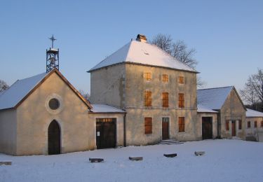
Localisation
Pays :
France
Région :
Grand Est
Département/Province :
Vosges
Commune :
Soulosse-sous-Saint-Élophe
Localité :
Unknown
Départ:(Dec)
Départ:(UTM)
702847 ; 5365224 (31U) N.
Commentaires
Randonnées à proximité
Sentier de Jeanne - Variante Maxey-Brixey
A pied
Facile
Maxey-sur-Meuse,
Grand Est,
Vosges,
France
7,8 km | 9,8 km-effort
2h 13min
Oui
DOMRÉMY LA PUCELLE
A pied
Facile
(1)
Domrémy-la-Pucelle,
Grand Est,
Vosges,
France
10,9 km | 13,7 km-effort
3h 6min
Oui
Autigny la tour marche gourmande 25 aout 2024 anime ta campagne
Randonnée équestre
Difficile
Autigny-la-Tour,
Grand Est,
Vosges,
France
28 km | 34 km-effort
4h 24min
Oui
Anime ta campagne marche gourmande à Autigny la tour 25 aout 2024
Randonnée équestre
Difficile
Autigny-la-Tour,
Grand Est,
Vosges,
France
28 km | 34 km-effort
4h 24min
Oui
Saint Elophe et Brancourt
Marche
Très facile
Soulosse-sous-Saint-Élophe,
Grand Est,
Vosges,
France
4,1 km | 5 km-effort
1h 3min
Oui
de Coussey à Vouthon
Marche
Moyen
Coussey,
Grand Est,
Vosges,
France
11,3 km | 14,3 km-effort
2h 9min
Non
projet 3 Orléans
Vélo de route
Moyen
Domrémy-la-Pucelle,
Grand Est,
Vosges,
France
356 km | 391 km-effort
23h 41min
Non
domremy la pucelle
Marche
Facile
Domrémy-la-Pucelle,
Grand Est,
Vosges,
France
4,6 km | 5,7 km-effort
2h 27min
Oui