


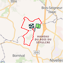


12,8 km | 15 km-effort


Utilisateur


Application GPS de randonnée GRATUITE
 SityTrail
IGN / Instituts géographiques
SityTrail World
Le monde est à vous
Randonnée Marche de 9,8 km à découvrir à Wallonie, Brabant wallon, Nivelles. Cette randonnée est proposée par calofrancis.
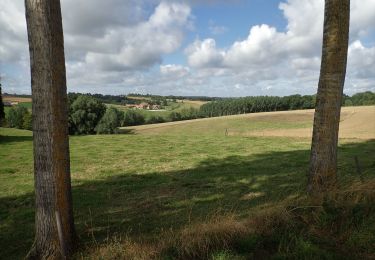
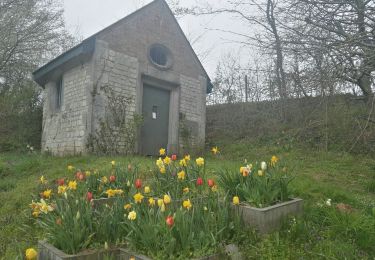
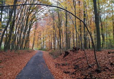
A la découverte des paysages et campagnes sur les plateaux aux alentours de Baudémont et du Golf de la Tournette
www.marcheursdumardi.be

Marche

Marche

Marche

Marche

Marche
Marche

Marche
Marche
Marche
chouette randonnée variété de paysages