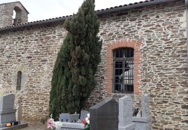
7,6 km | 9,9 km-effort
Entre vallons et colines
CANON2
Utilisateur
Longueur
10,1 km
Altitude max
453 m
Dénivelé positif
278 m
Km-Effort
13,8 km
Altitude min
336 m
Dénivelé négatif
277 m
Boucle
Oui
Date de création :
2019-05-15 13:10:23.437
Dernière modification :
2019-05-15 13:10:23.482
2h40
Difficulté : Facile
Application GPS de randonnée GRATUITE
À propos
Randonnée Marche de 10,1 km à découvrir à Occitanie, Tarn, Terre-de-Bancalié. Cette randonnée est proposée par CANON2.
Localisation
Pays :
France
Région :
Occitanie
Département/Province :
Tarn
Commune :
Terre-de-Bancalié
Localité :
Terre-Clapier
Départ:(Dec)
Départ:(UTM)
443665 ; 4855965 (31T) N.
Commentaires
Randonnées à proximité
Theoulet
sport
Très facile
Mouzieys-Teulet,
Occitanie,
Tarn,
France
7,6 km | 9,9 km-effort
Inconnu
Oui
Le sentier de Calle Villefranche d'Albigeois
A pied
Facile
Villefranche-d'Albigeois,
Occitanie,
Tarn,
France
7,2 km | 9,9 km-effort
2h 15min
Oui
rando Puechs en Assou Fauch
Marche
Moyen
Fauch,
Occitanie,
Tarn,
France
12,7 km | 16,4 km-effort
2h 38min
Oui
Boucle Lou Cami de Theoullet / Les trois Ruisseaux
Marche
Facile
Mouzieys-Teulet,
Occitanie,
Tarn,
France
18 km | 23 km-effort
7h 16min
Oui
Terre Clapier : chemin entre vallon et collines
A pied
Facile
(1)
Terre-de-Bancalié,
Occitanie,
Tarn,
France
9,4 km | 12,8 km-effort
Inconnu
Oui