Randonnée Marche Pont-Aven - Le Bois d'amour - Nizon - Photo

Le Bois d'amour - Nizon

 tracegps
tracegps

Utilisateur

© OpenStreetMap contributors
Longueur
Longueur
13 km
Altitude max
Altitude max
80 m
Dénivelé positif
Dénivelé positif
190 m
Km-Effort
Km-Effort  
15,6 km
Altitude min
Altitude min
8 m
Dénivelé négatif
Dénivelé négatif
190 m
Boucle
Boucle
Oui
Date de création :
2014-12-10 00:00:00.0
Dernière modification :
2014-12-10 00:00:00.0

(0 Avis)

Marche
Marche
3h15
Difficulté : Difficile

Scannez ce code QR pour ouvrir la randonnée dans l'application SityTrail

Application GPS de randonnée GRATUITE

Logo SityTrail SityTrail

IGN / Instituts géographiques

Télécharger SityTrail sur l'App Store Télécharger SityTrail sur Google Play

Logo SityTrail SityTrail World

Le monde est à vous

Télécharger SityTrail sur l'App Store Télécharger SityTrail sur Google Play Télécharger SityTrail sur Huawei AppGallery

À propos

Randonnée Marche de 13 km à découvrir à Bretagne, Finistère, Pont-Aven. Cette randonnée est proposée par tracegps.

Description

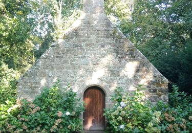
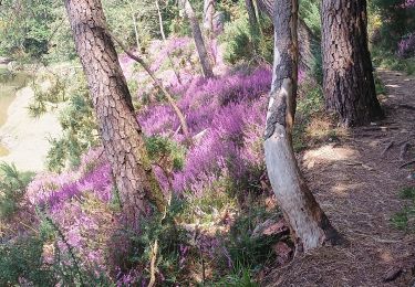
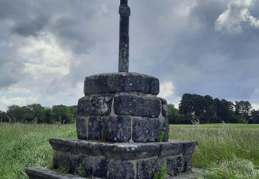
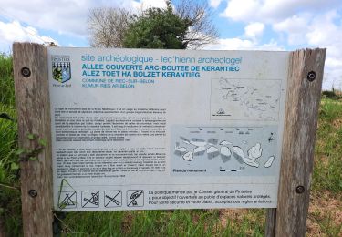
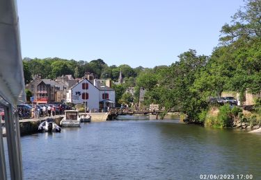
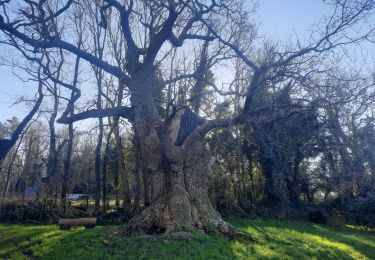
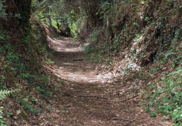
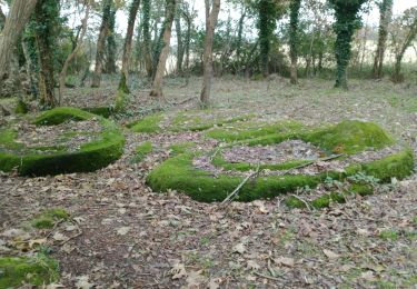
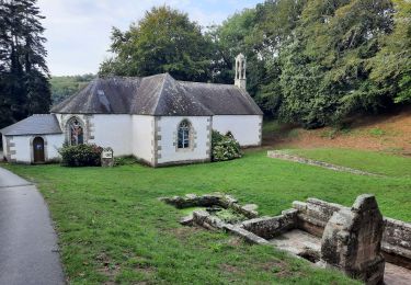
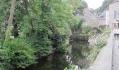
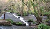
Départ du parking des grands chênes à Nizon, commune fusionné à Pont-Aven. Partir direction Ouest vers Coat Canton, Kerangallic. Lorsque l'on arrive à la route à St-Maudé prendre à droite sur 500m, puis de nouveau à droite vers le Haut Bois. Continué jusqu'à la rivière « L'Aven » que l'on suit à droite jusqu'à l'ancienne pisciculture. Monter à droite le Bois d'Amour pour redescendre vers le centre de Pont-Aven. 100 m après le pont de Pont-Aven, prendre la rue de Rozambidou après un droite, gauche, droite. On traverse Lesdomini pour rattraper à gauche Pont Bleiz, Kermovan. Traverser la D 783, pour rejoindre le départ, en ne manquant pas le calvaire de Nizon.

Profil altimétrique

Photos

Localisation

Pays :
France
Région :
Bretagne
Département/Province :
Finistère
Commune :
Pont-Aven
Localité :
Unknown
Départ:(Dec)
Départ:(UTM)
442704 ; 5301354 (30T) N.

Randonnées à proximité

Randonnée Marche Névez - NEVEZ  - Photo
Marche
RonanDAGORN

Marche

Moyen
Névez, Bretagne, Finistère, France
21 km | 25 km-effort
5h 42min
Oui
Randonnée Marche Névez - Le Heant - Photo
Marche
MichelRando7656

Marche

Difficile
Névez, Bretagne, Finistère, France
12,3 km | 14,4 km-effort
4h 31min
Oui
Randonnée Marche Pont-Aven - Pont Aven boucle via chapelle St Mathieu/Nevez/Le Henan/Penanros - Photo
Marche
JEAN06910

Marche

Très difficile
Pont-Aven, Bretagne, Finistère, France
18,3 km | 21 km-effort
3h 3min
Oui
Randonnée Marche Pont-Aven - BOUCLE  PONT AVEN / ROSBRAS / RIEC / PONT AVEN  - Photo
Marche
JEAN06910

Marche

Facile
Pont-Aven, Bretagne, Finistère, France
21 km | 25 km-effort
8h 8min
Oui
Randonnée Bateau à moteur Pont-Aven - Pont Aven -Belon - Photo
Bateau à moteur
Vivie21

Bateau à moteur

Très facile
Pont-Aven, Bretagne, Finistère, France
22 km | 23 km-effort
1h 56min
Oui
Randonnée Marche Pont-Aven - Pont Aven - Port Manec'h  - Photo
Marche
nolsim

Marche

Facile
Pont-Aven, Bretagne, Finistère, France
12,6 km | 15,2 km-effort
4h 29min
Non
Randonnée Marche Pont-Aven - PONT-AVEN / RIEC sur BELON - Photo
Marche
RonanDAGORN

Marche

Très difficile
Pont-Aven, Bretagne, Finistère, France
82 km | 95 km-effort
6h 9min
Non
Randonnée Marche Pont-Aven - PONT AVEN / PORT DE BELON par chapelle St LEGER - Photo
Marche
JEAN06910

Marche

Moyen
Pont-Aven, Bretagne, Finistère, France
21 km | 24 km-effort
4h 2min
Non
Randonnée Marche Pont-Aven - PONT AVEN-RIEC-HANSE DE PENMOR ET RETOUR PAR LAC S DU KAOLIN-PONT AVEN - Photo
Marche
JEAN06910

Marche

Moyen
Pont-Aven, Bretagne, Finistère, France
20 km | 24 km-effort
3h 57min
Oui


Fermer
Mes abonnements