


14 km | 26 km-effort

Utilisateur


Application GPS de randonnée GRATUITE
 SityTrail
IGN / Instituts géographiques
SityTrail World
Le monde est à vous
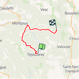
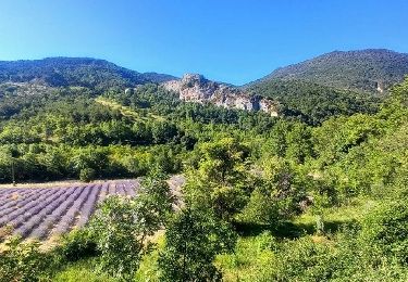
Randonnée Marche de 14,9 km à découvrir à Auvergne-Rhône-Alpes, Drôme, Teyssières. Cette randonnée est proposée par tracegps.
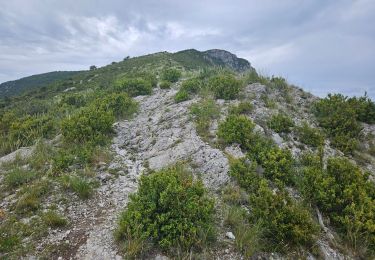
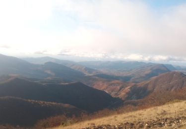
Cinquième étape : après le col de Marot (771m) on descend la Combe Lescour pour arriver au hameau de la paillette (481m). Une vallée vous permet d'atteindre le col Blanc (863m). Retrouvez le plan global du circuit sur le site de la Communauté de Communes du pays de Dieulefit.
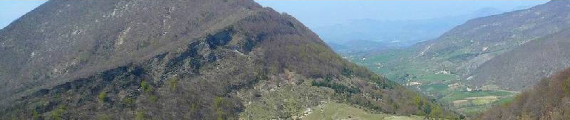
 - Photo 1")
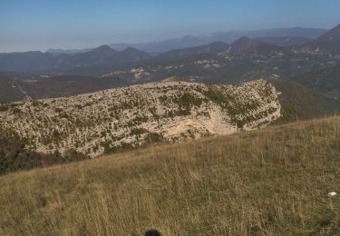
 - Photo 2")
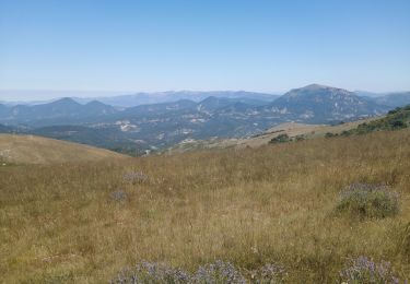
 - Photo 3")
 - Photo 4")

Marche
Marche
Marche
Marche

Marche
Marche

Marche

Marche
Marche