


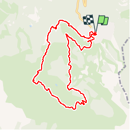

9,7 km | 15,9 km-effort

Utilisateur


Application GPS de randonnée GRATUITE
 SityTrail
IGN / Instituts géographiques
SityTrail World
Le monde est à vous
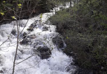
Randonnée Marche de 10,3 km à découvrir à Provence-Alpes-Côte d'Azur, Hautes-Alpes, Risoul. Cette randonnée est proposée par tracegps.
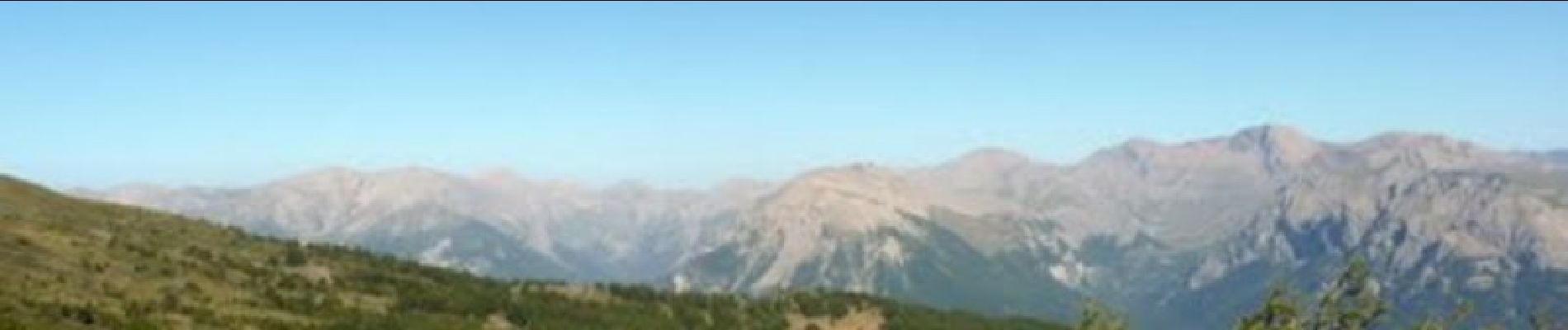
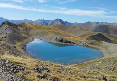
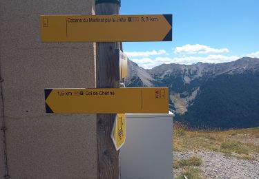
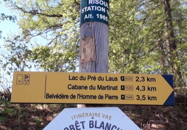
Départ du circuit de la station de Risoul. Montée en direction du col de Valbelle, col de Chérine. Prendre la direction du Belvédère de l'Homme de Pierre et redescendre sur la station.


Marche

Marche
Marche

Marche
Marche
Marche
Marche
Marche
Marche