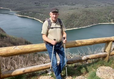
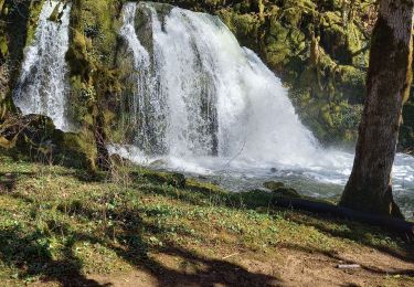
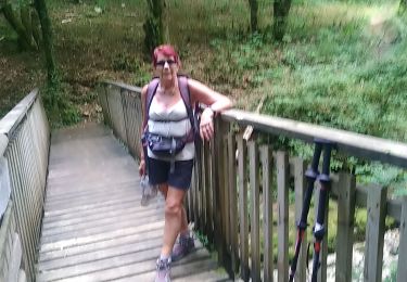
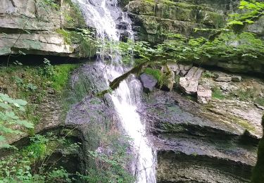
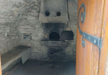
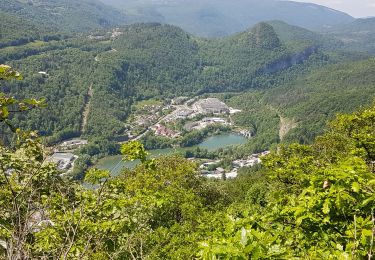
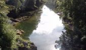
Randonnée Course à pied Chassal-Molinges - Le Grand Bois - Molinges - Photo
 tracegps
tracegps

Utilisateur

© OpenStreetMap contributors
Longueur
Longueur
6,2 km
Altitude max
Altitude max
633 m
Dénivelé positif
Dénivelé positif
330 m
Km-Effort
Km-Effort  
10,6 km
Altitude min
Altitude min
337 m
Dénivelé négatif
Dénivelé négatif
326 m
Boucle
Boucle
Oui
Date de création :
2014-12-10 00:00:00.0
Dernière modification :
2014-12-10 00:00:00.0

(0 Avis)

Course à pied
Course à pied
49m
Difficulté : Difficile

Scannez ce code QR pour ouvrir la randonnée dans l'application SityTrail

Application GPS de randonnée GRATUITE

Logo SityTrail SityTrail

IGN / Instituts géographiques

Télécharger SityTrail sur l'App Store Télécharger SityTrail sur Google Play

Logo SityTrail SityTrail World

Le monde est à vous

Télécharger SityTrail sur l'App Store Télécharger SityTrail sur Google Play Télécharger SityTrail sur Huawei AppGallery

À propos

Randonnée Course à pied de 6,2 km à découvrir à Bourgogne-Franche-Comté, Jura, Chassal-Molinges. Cette randonnée est proposée par tracegps.

Description

En vacances dans le Jura, j'ai fait ce parcours qui emprunte une partie du GR de Pays. Très agréable car à l'ombre. Du Pavillon suivre le Gr de Pays jusqu'au Granges de Chiriat. Prendre ensuite le sentier qui monte à droite direction St Romain. Au sommet rester à droite pour retrouver un sentier qui redescend sur Molinges par la combe de Barbe.

Profil altimétrique

Photos

Localisation

Pays :
France
Région :
Bourgogne-Franche-Comté
Département/Province :
Jura
Commune :
Chassal-Molinges
Localité :
Molinges
Départ:(Dec)
Départ:(UTM)
712417 ; 5137618 (31T) N.

Randonnées à proximité

Randonnée Marche Martigna - rando a martgna dans le jura - Photo
Marche
colomb24

Marche

Facile
Martigna, Bourgogne-Franche-Comté, Jura, France
13,8 km | 18,3 km-effort
5h 7min
Oui
Randonnée Marche Chassal-Molinges - molinges st romain - Photo
Marche
GUIDE
loca.yves

Marche

Difficile
Chassal-Molinges, Bourgogne-Franche-Comté, Jura, France
10,3 km | 16,4 km-effort
3h 52min
Oui
Randonnée Marche Viry - Siege - Photo
Marche
Jackoyo

Marche

Moyen
Viry, Bourgogne-Franche-Comté, Jura, France
7,6 km | 11,5 km-effort
2h 28min
Oui
Randonnée Marche Jeurre - partis de jeurre ensuite la chapelle Saint Romain et la cascade de l enragé  - Photo
Marche
colomb24

Marche

Moyen
Jeurre, Bourgogne-Franche-Comté, Jura, France
18 km | 25 km-effort
5h 9min
Oui
Randonnée Marche Coteaux du Lizon - gorges du Lison . départ de Saint lupicin - Photo
Marche
colomb24

Marche

Moyen
Coteaux du Lizon, Bourgogne-Franche-Comté, Jura, France
18 km | 26 km-effort
5h 55min
Non
Randonnée Marche Coteaux du Lizon - les gorges du lison - Photo
Marche
colomb24

Marche

Très facile
Coteaux du Lizon, Bourgogne-Franche-Comté, Jura, France
18,6 km | 26 km-effort
7h 0min
Oui
Randonnée Marche Chassal-Molinges - molinges-st-romain - Photo
Marche
jean-paul.borges

Marche

Facile
(1)
Chassal-Molinges, Bourgogne-Franche-Comté, Jura, France
9,5 km | 15,4 km-effort
3h 5min
Oui
Randonnée Marche Lavans-lès-Saint-Claude - Vers la chapelle Saint-Romain et retour par le village... - Photo
Marche
fizz1212

Marche

Facile
Lavans-lès-Saint-Claude, Bourgogne-Franche-Comté, Jura, France
2,8 km | 4 km-effort
2h 16min
Oui
Randonnée Marche Lavans-lès-Saint-Claude - Lison Avignon Ponthoux - Photo
Marche
HB01

Marche

Difficile
Lavans-lès-Saint-Claude, Bourgogne-Franche-Comté, Jura, France
17,6 km | 28 km-effort
5h 16min
Oui


Fermer
Mes abonnements