


13,1 km | 17,5 km-effort

Utilisateur


Application GPS de randonnée GRATUITE
 SityTrail
IGN / Instituts géographiques
SityTrail World
Le monde est à vous
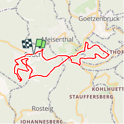
Randonnée V.T.T. de 17,4 km à découvrir à Grand Est, Moselle, Soucht. Cette randonnée est proposée par tracegps.
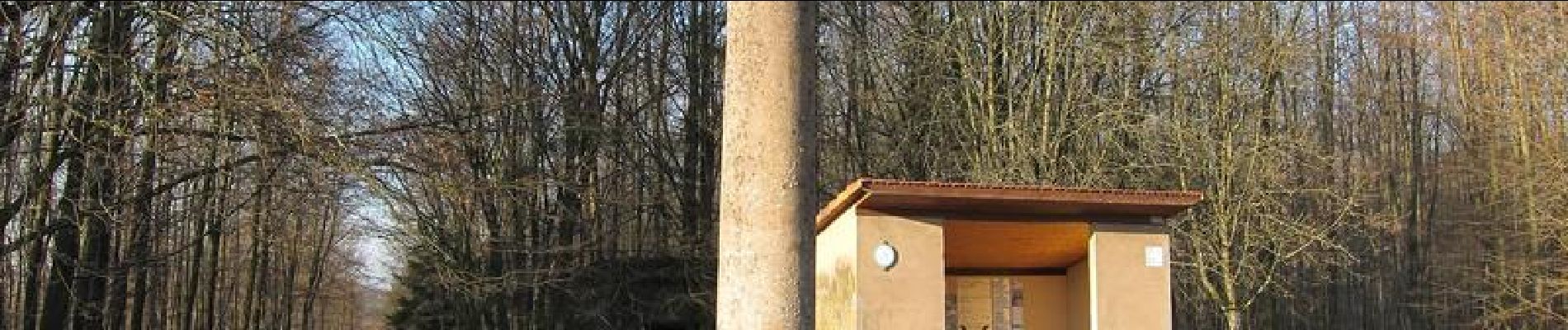
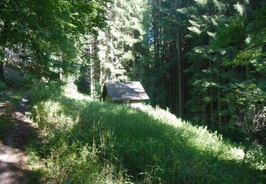
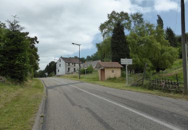
Départ à Soucht, place de la République (portique d'informations). Le circuit se déroule essentiellement sur les hauteurs au sud de Soucht. Point de vue vers le nord près de La Colonne. La descente sur l'ancienne voie ferrée est assez raide et demande de la dextérité. La randonnée peut également démarrer à la Pierre des Douze Apôtres ou à La Colonne (panneau d'informations à l'intérieur de l'abri). Les plaquettes portent le N° 4. Juste après La Colonne, le circuit rentre en forêt (ne pas descendre à Meisenthal par la route goudronnée!).


Marche
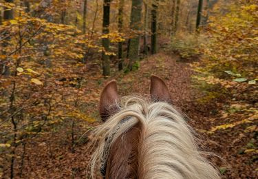
Randonnée équestre
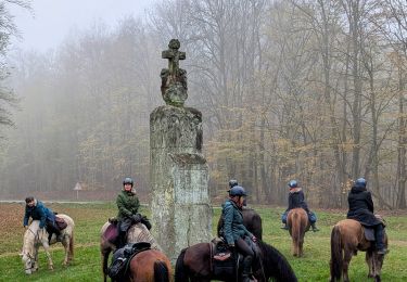
Randonnée équestre
A pied
A pied
A pied
