


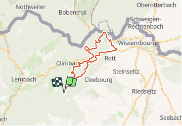

18,4 km | 26 km-effort

Utilisateur


Application GPS de randonnée GRATUITE
 SityTrail
IGN / Instituts géographiques
SityTrail World
Le monde est à vous
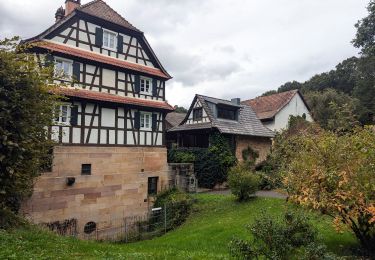
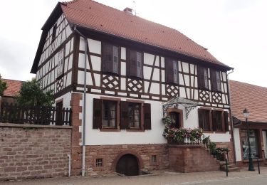
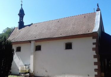
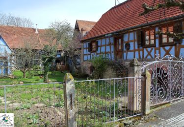
Randonnée V.T.T. de 23 km à découvrir à Grand Est, Bas-Rhin, Cleebourg. Cette randonnée est proposée par tracegps.
Petite sortie offrant de beaux panoramas, un joli petit dénivelé, aucune difficulté notoire hormis le fossé antichar à traverser (attention une quinzaine de marche sans rambardes où il faudra porter le vélo). Le parcours n'emprunte que des sentiers du club vosgien qui sont bien dégagés.


Randonnée équestre
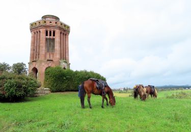
Randonnée équestre
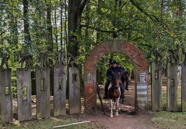
Randonnée équestre
Randonnée équestre
A pied

A pied
A pied
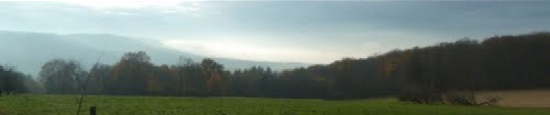
Parcours très sympa !