


40 km | 51 km-effort

Utilisateur


Application GPS de randonnée GRATUITE
 SityTrail
IGN / Instituts géographiques
SityTrail World
Le monde est à vous
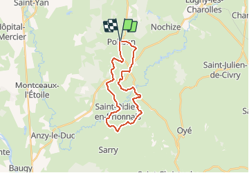
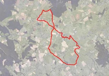
Randonnée V.T.T. de 23 km à découvrir à Bourgogne-Franche-Comté, Saône-et-Loire, Poisson. Cette randonnée est proposée par tracegps.
Parking et départ devant la mairie. Cette boucle est le «petit parcours» d’un raid multisports qui s’est déroulé au printemps 2012 et qui était balisé temporairement avec un « poisson rose ». Circuit bien vallonné sans grosse difficulté. Topo-guide : Les Balades Vertes, Guide de randonnées Paray-le-Monial (12 circuits balisés). Circuits de marche au départ de Poisson (balisage jaune PR) : Le p’tit tour du P’chon (1,5 km, suivre PLM1) et Le « huit » du val d’Arconce (13 km, suivre PLM9).
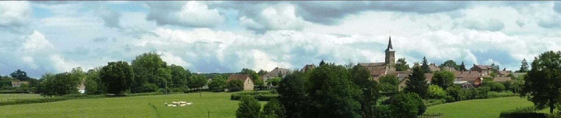
 - Photo 1")
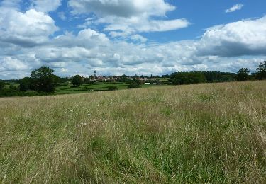
 - Photo 2")
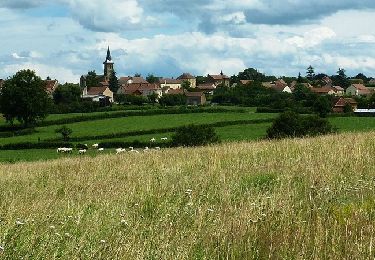
 - Photo 3")
 - Photo 4")
 - Photo 5")
 - Photo 6")
V.T.T.
Vélo

V.T.T.
Course à pied
V.T.T.

Marche
V.T.T.

A pied

Marche