


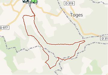

16,1 km | 19,7 km-effort

Utilisateur


Application GPS de randonnée GRATUITE
 SityTrail
IGN / Instituts géographiques
SityTrail World
Le monde est à vous
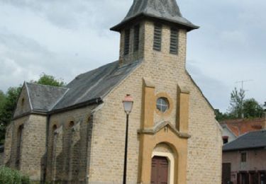
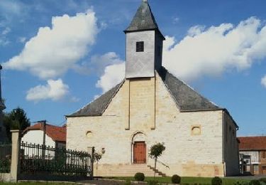
Randonnée Marche de 9,6 km à découvrir à Grand Est, Ardennes, Ballay. Cette randonnée est proposée par tracegps.
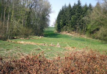
Départ place de Ballay, montez vers le cimetière, prenez la route forestière, de beaux petits ruisseaux vous attendent. Chevreuils renards blaireaux souvent sur les chemins.

Marche
Marche
Marche
Marche

Marche
Marche

Marche nordique