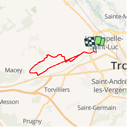


8,8 km | 9,4 km-effort


Utilisateur


Application GPS de randonnée GRATUITE
 SityTrail
IGN / Instituts géographiques
SityTrail World
Le monde est à vous
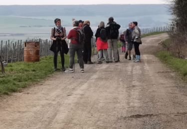
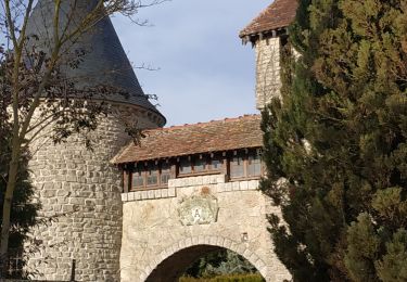
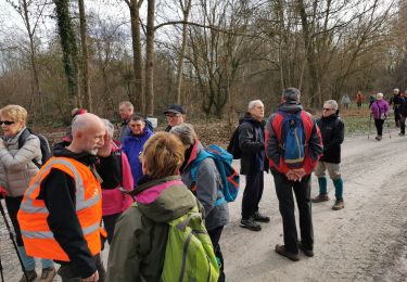
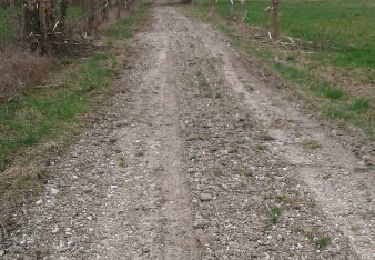
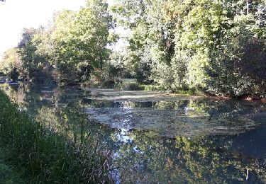
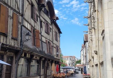
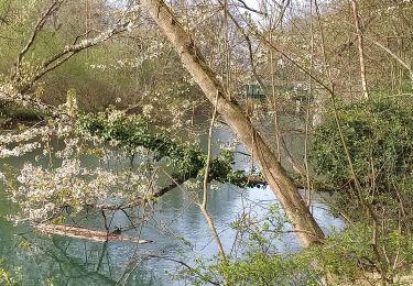
Randonnée Marche de 17,3 km à découvrir à Grand Est, Aube, La Chapelle-Saint-Luc. Cette randonnée est proposée par wifidix.
1 ere

Marche nordique

Marche
Marche
Marche
Marche
Marche