

tour-rognes

oboiron
Utilisateur

Longueur
36 km

Altitude max
471 m

Dénivelé positif
723 m

Km-Effort
45 km

Altitude min
164 m

Dénivelé négatif
723 m
Boucle
Oui
Date de création :
2014-12-10 00:00:00.0
Dernière modification :
2014-12-10 00:00:00.0
2h57
Difficulté : Moyen

Application GPS de randonnée GRATUITE
À propos
Randonnée V.T.T. de 36 km à découvrir à Provence-Alpes-Côte d'Azur, Bouches-du-Rhône, Rognes. Cette randonnée est proposée par oboiron.
Description
Petit tour sur la commune de Rognes. On traverse successivment la chaîne de la Trévaresse, la chaîne des Côtes le vallon du Ru et les collines de Valfere.
Localisation
Pays :
France
Région :
Provence-Alpes-Côte d'Azur
Département/Province :
Bouches-du-Rhône
Commune :
Rognes
Localité :
Unknown
Départ:(Dec)
Départ:(UTM)
691890 ; 4836258 (31T) N.
Commentaires
Randonnées à proximité
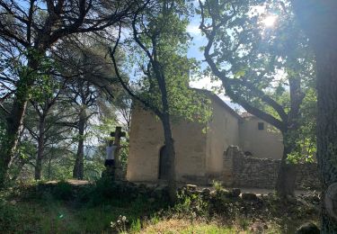
Rognes virée dans les vignes sur le sentier des vignerons


Marche
Facile
Rognes,
Provence-Alpes-Côte d'Azur,
Bouches-du-Rhône,
France

11,1 km | 14,1 km-effort
3h 12min
Oui
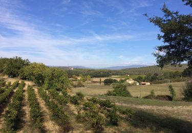
mini sentier des vignerons


Marche
Facile
Rognes,
Provence-Alpes-Côte d'Azur,
Bouches-du-Rhône,
France

10,5 km | 13,1 km-effort
2h 34min
Oui
rognes


Marche
Très difficile
Rognes,
Provence-Alpes-Côte d'Azur,
Bouches-du-Rhône,
France

14,4 km | 19,8 km-effort
5h 28min
Oui
l étape. cricri....


Marche
Très facile
Saint-Cannat,
Provence-Alpes-Côte d'Azur,
Bouches-du-Rhône,
France

8,6 km | 10,2 km-effort
2h 12min
Oui
st canadet


Marche
Très facile
Le Puy-Sainte-Réparade,
Provence-Alpes-Côte d'Azur,
Bouches-du-Rhône,
France

4,8 km | 6,3 km-effort
1h 59min
Non
tour-Rognes/ le Puy


V.T.T.
Moyen
Rognes,
Provence-Alpes-Côte d'Azur,
Bouches-du-Rhône,
France

22 km | 29 km-effort
2h 1min
Oui

Saint Esteve de janson 19/11/24


sport
Très facile
Saint-Estève-Janson,
Provence-Alpes-Côte d'Azur,
Bouches-du-Rhône,
France

12,6 km | 16,2 km-effort
Inconnu
Oui

de


Marche
Moyen
Le Puy-Sainte-Réparade,
Provence-Alpes-Côte d'Azur,
Bouches-du-Rhône,
France

4,9 km | 6,3 km-effort
2h 40min
Non

Rognes Saint Christophe


Marche
Moyen
Rognes,
Provence-Alpes-Côte d'Azur,
Bouches-du-Rhône,
France

8,3 km | 10,9 km-effort
2h 34min
Oui


 SityTrail


