


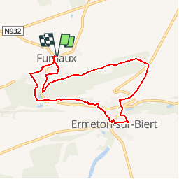


24 km | 29 km-effort


Utilisateur GUIDE


Application GPS de randonnée GRATUITE
 SityTrail
IGN / Instituts géographiques
SityTrail World
Le monde est à vous
Randonnée Marche de 7,4 km à découvrir à Wallonie, Namur, Mettet. Cette randonnée est proposée par Desrumaux.
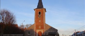
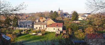
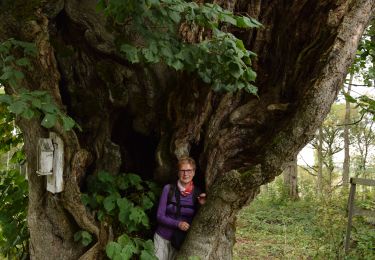
Ermeton-sur-Biert, petit village rural, calme et reposant, situé dans une vallée verdoyante de la Province de Namur, là où débute le cours de la Molignée.


Marche

Marche
Marche

Marche

Marche

Marche

Marche
Marche

Vélo
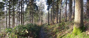
très jolis sentiers