


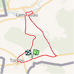


37 km | 46 km-effort

Randonnées de Natura 2000 GUIDE+


Application GPS de randonnée GRATUITE
 SityTrail
IGN / Instituts géographiques
SityTrail World
Le monde est à vous
Randonnée Marche de 7,5 km à découvrir à Wallonie, Luxembourg, Rouvroy. Cette randonnée est proposée par Natura 2000.
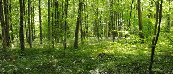
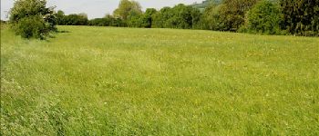
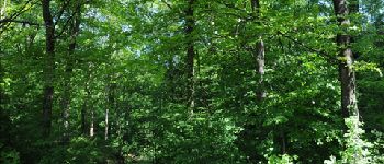
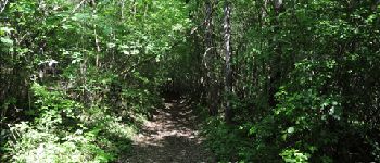
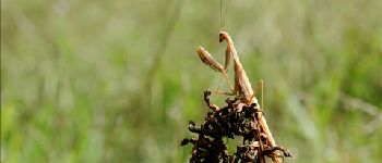
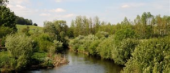
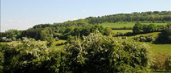
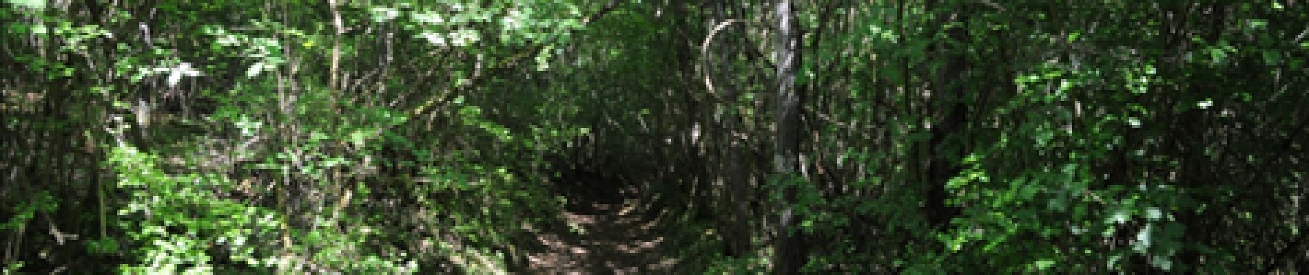
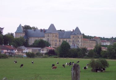
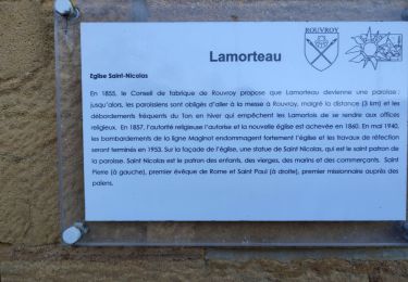
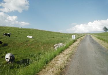
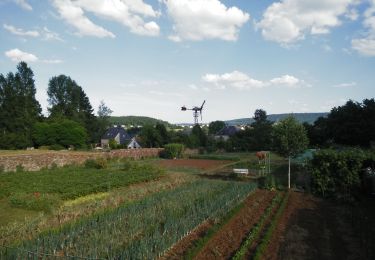
Ce magnifique circuit alterne sentes forestières et chemins de campagne permettant, par monts et par vaux, de écouvrir des villages typiques au sein d’une nature particulièrement généreuse. De cuesta en vallées, le site Natura 2000 Vallée du Ton et Côte bajocienne de Montquintin à Ruette abrite des forêts de hêtres avec, ça et là, des pelouses sèches ou des cordons d’aulnes au bord des rivières. Les oiseaux y sont nombreux mais la diversité biologique est aussi remarquable au niveau de la flore et des insectes.


A pied

Marche

Cheval
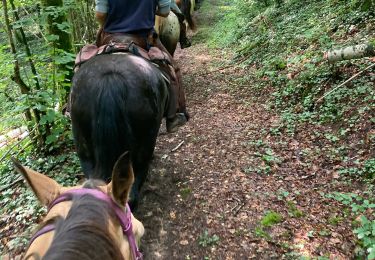
Randonnée équestre
Marche

A pied
V.T.T.
V.T.T.
Marche
toffe pittige wandeling met vergezichten.mooi dorppje Torgny
Belle balade pour le début et la fin.