


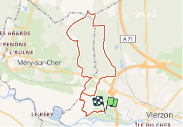

46 km | 51 km-effort


Utilisateur


Application GPS de randonnée GRATUITE
 SityTrail
IGN / Instituts géographiques
SityTrail World
Le monde est à vous
Randonnée Cheval de 18,6 km à découvrir à Centre-Val de Loire, Cher, Vierzon. Cette randonnée est proposée par Orage.
Nord de la forêt domaniale par La Bruère - Tranchée de l'Alouette, Provins _ étang de Fay - Le Champêtre -
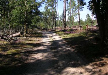
Marche

Cheval

Marche

Marche
Cheval
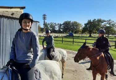
Randonnée équestre
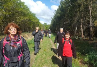
Marche
V.T.T.
Marche