


5,5 km | 7,5 km-effort


Utilisateur


Application GPS de randonnée GRATUITE
 SityTrail
IGN / Instituts géographiques
SityTrail World
Le monde est à vous
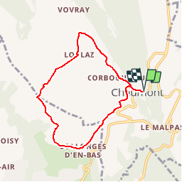
Randonnée Marche de 6,9 km à découvrir à Auvergne-Rhône-Alpes, Haute-Savoie, Chaumont. Cette randonnée est proposée par lbuda.
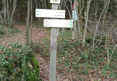
Les étapes du circuit
Deux possibilités de départ :
Depuis Frangy, départ depuis la place centrale, direction l’église et ensuite suivre Collonges.
Depuis Chaumont, départ de l’église en direction de Chaumontet et suivre le balisage.
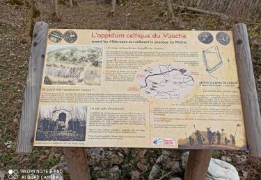
Curiosités
Les vignobles de la Roussette Grand Cru de Frangy
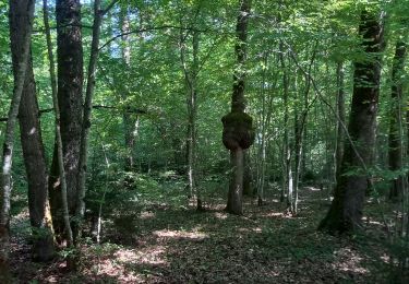
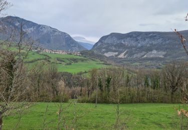
Une magnifique vue sur les Alpes
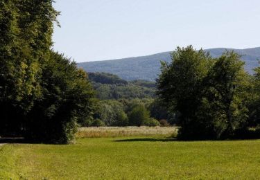
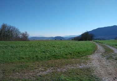
Des prairies et une agriculture céréalière dynamique
Les hameaux pittoresques aux bâtis anciens
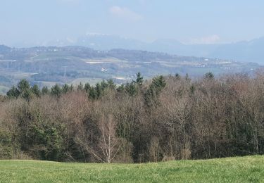
Marche
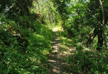
Marche
Marche
Marche
Marche
Marche
Marche

Marche
Marche