


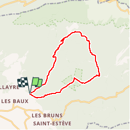

18,8 km | 25 km-effort


Utilisateur


Application GPS de randonnée GRATUITE
 SityTrail
IGN / Instituts géographiques
SityTrail World
Le monde est à vous
Randonnée Marche de 13,5 km à découvrir à Provence-Alpes-Côte d'Azur, Vaucluse, Bédoin. Cette randonnée est proposée par alpha-pyxidis.
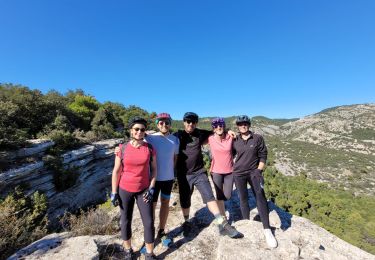
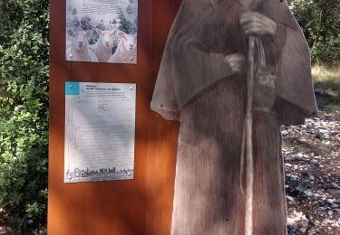
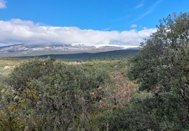
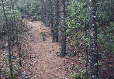
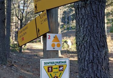
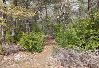
Au départ du hameau de Fébriers, une boucle qui relie les différents jas (bergeries) sur les pentes du mont Ventoux.
Détails et photos : http://www.alpha-pyxidis.com/provence/les-jas-du-mont-ventoux

Marche

Marche
V.T.T.
Marche
Marche

Marche
Marche
Marche
Marche