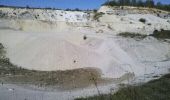
Randonnée Marche Larchant - 3Pi-121031 - Dene19-MtBlanc-DJouanne - Photo

3Pi-121031 - Dene19-MtBlanc-DJouanne

 randodan
randodan

Utilisateur

© OpenStreetMap contributors
Longueur
Longueur
12,5 km
Altitude max
Altitude max
121 m
Dénivelé positif
Dénivelé positif
238 m
Km-Effort
Km-Effort  
15,7 km
Altitude min
Altitude min
68 m
Dénivelé négatif
Dénivelé négatif
238 m
Boucle
Boucle
Oui
Date de création :
2014-12-10 00:00:00.0
Dernière modification :
2014-12-10 00:00:00.0

(0 Avis)

Marche
Marche
3h21
Difficulté : Facile

Scannez ce code QR pour ouvrir la randonnée dans l'application SityTrail

Application GPS de randonnée GRATUITE

Logo SityTrail SityTrail

IGN / Instituts géographiques

Télécharger SityTrail sur l'App Store Télécharger SityTrail sur Google Play

Logo SityTrail SityTrail World

Le monde est à vous

Télécharger SityTrail sur l'App Store Télécharger SityTrail sur Google Play Télécharger SityTrail sur Huawei AppGallery

À propos

Randonnée Marche de 12,5 km à découvrir à Île-de-France, Seine-et-Marne, Larchant. Cette randonnée est proposée par randodan.

Description

Mercredi 31 octobre 2012 .<br> Denecourt 19 .<br>
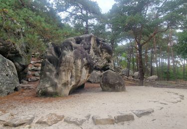
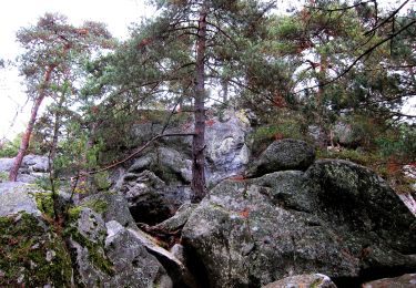
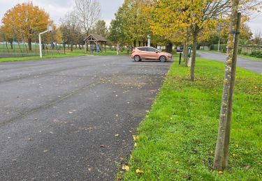
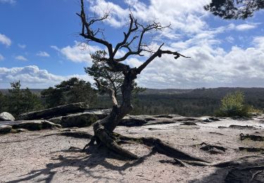
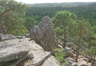
Départ parking Bois dʼHyver . Mt Simonet, Rocher de la Justice, lʼÉléphant, la Fontaine St-Mathurin, le Auvent, le Mont Blanc (4810 m ? Non, seulement 112 m !) .<br>Pique-nique "à la plage" dans la Carrière Blomont .<br>Chalet Jaubert, Dame Jouanne vue dʼen haut puis vue dʼen bas, retour parking 16h .<br>
Mi Lo Da

Profil altimétrique

Photos

Points d'intérêt

Point d'intérêt Larchant - 1 - Mont Simonet  - Photo
randodan
Point d'intérêt Larchant - 3 - Rocher de la Justice - Photo
randodan
Point d'intérêt Larchant - 5 -  Sur la Roche au Diable - Photo
randodan
Point d'intérêt Larchant - 6 - Sur les Crottes au Fer - Photo
randodan
Point d'intérêt Larchant - 7 - Le Mont Blanc - Photo
randodan
Point d'intérêt Larchant - 9 - Carrière Blomont - Photo
randodan
Point d'intérêt Larchant - 11 - Carrière Blomont - Photo
randodan
Point d'intérêt Larchant - 12 - La Dame Jouanne - Photo
randodan
Point d'intérêt Larchant - 10 - Carrière Blomont - Photo
randodan

Localisation

Pays :
France
Région :
Île-de-France
Département/Province :
Seine-et-Marne
Commune :
Larchant
Localité :
Unknown
Départ:(Dec)
Départ:(UTM)
470167 ; 5349429 (31U) N.

Randonnées à proximité

Randonnée Marche Larchant - Larchant la Féérique  - Photo
Marche
GUIDE
chessyca

Marche

Moyen
Larchant, Île-de-France, Seine-et-Marne, France
19,6 km | 24 km-effort
5h 14min
Oui
Randonnée A pied Larchant - Sentier Denecourt-Colinet 19 - Photo
A pied
GUIDE+

A pied

Facile
Larchant, Île-de-France, Seine-et-Marne, France
9,7 km | 12,3 km-effort
2h 47min
Oui
Randonnée Marche Amponville - Amponville - Dolmen de la Pierre Larmoire - Photo
Marche
guydu41

Marche

Moyen
Amponville, Île-de-France, Seine-et-Marne, France
7,8 km | 8,3 km-effort
1h 53min
Oui
Randonnée Marche Villiers-sous-Grez - Villiers sous grez / Larchant - Photo
Marche
becor94

Marche

Très difficile
Villiers-sous-Grez, Île-de-France, Seine-et-Marne, France
24 km | 29 km-effort
5h 31min
Oui
Randonnée Marche nordique Larchant - Dame Juane - Photo
Marche nordique
pierre_mack

Marche nordique

Larchant, Île-de-France, Seine-et-Marne, France
22 km | 26 km-effort
3h 6min
Non
Randonnée Marche Larchant - larchant (photo)  - Photo
Marche
Yannick89

Marche

Très facile
Larchant, Île-de-France, Seine-et-Marne, France
15 km | 18,1 km-effort
4h 17min
Oui
Randonnée Marche Larchant - Larchant - Photo
Marche
gdela

Marche

Difficile
(1)
Larchant, Île-de-France, Seine-et-Marne, France
16,6 km | 20 km-effort
4h 20min
Oui
Randonnée Marche Larchant - 180303 EnCours - Photo
Marche
randodan

Marche

Très facile
Larchant, Île-de-France, Seine-et-Marne, France
9,8 km | 11,9 km-effort
3h 30min
Oui
Randonnée Marche Larchant - GLM-170914 - MtBlanc-DameJouanne - Photo
Marche
randodan

Marche

Facile
Larchant, Île-de-France, Seine-et-Marne, France
10,8 km | 13,4 km-effort
4h 40min
Oui


Fermer
Mes abonnements