


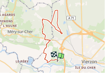

46 km | 51 km-effort


Utilisateur


Application GPS de randonnée GRATUITE
 SityTrail
IGN / Instituts géographiques
SityTrail World
Le monde est à vous
Randonnée Cheval de 20 km à découvrir à Centre-Val de Loire, Cher, Vierzon. Cette randonnée est proposée par Orage.
Boucle de 20 km.
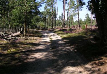
Une traversée de la voie ferrée et de la route de Tours... pour accéder aux couleurs d'automne de la forêt domaniale.
Marche

Cheval

Marche

Marche
Cheval
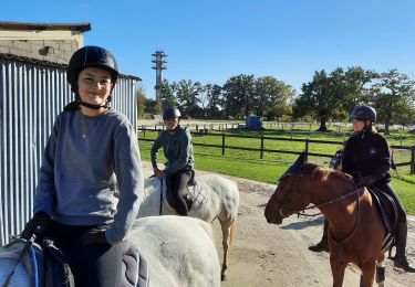
Randonnée équestre
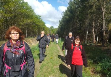
Marche
V.T.T.
Marche