


13 km | 18,5 km-effort


Utilisateur


Application GPS de randonnée GRATUITE
 SityTrail
IGN / Instituts géographiques
SityTrail World
Le monde est à vous
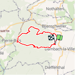
Randonnée Marche de 13,9 km à découvrir à Grand Est, Bas-Rhin, Dambach-la-Ville. Cette randonnée est proposée par VacheKiri67.
Balisage : chevalet rouge - croix jaune - croix rouge.
Faite le 21/10/2012 en 5h00 (dont 0h35 de pauses) avec notre fils de 8 ans.
La durée rallongée et les zigzags proviennent de la cueillette de champignons ! Sa durée annoncée étant de 3h30.
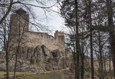
Plus de détails : Passion Vosges - Alsace centrale N°3 Page 49 : Traversée du massif du Bernstein.


Marche
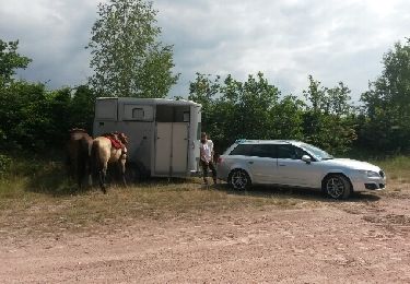
Cheval

Marche

Marche
Marche
Randonnée équestre

Marche
Marche
Marche