


4,5 km | 6,1 km-effort


Utilisateur


Application GPS de randonnée GRATUITE
 SityTrail
IGN / Instituts géographiques
SityTrail World
Le monde est à vous
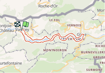
Randonnée Marche de 14,9 km à découvrir à Bourgogne-Franche-Comté, Doubs, Vaufrey. Cette randonnée est proposée par ballet.
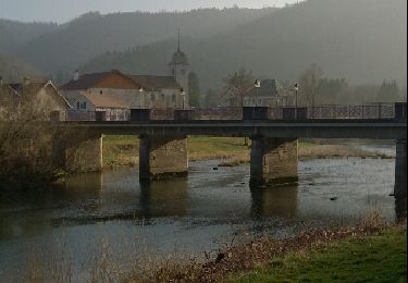
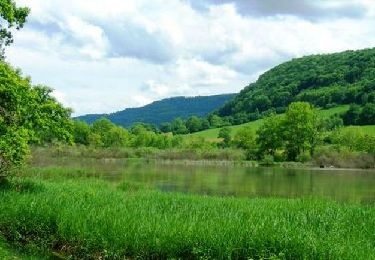
Pour les amoureux du Doubs
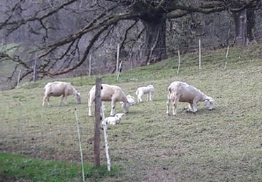
Balade accessible à toute la famille pour vous émerveiller pour les paysages sauvages et changeants au fil des méandres du Doubs.
A pied
A pied
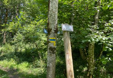
Marche

sport
Marche

Marche
Marche
Marche
Marche
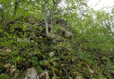
Très belle petite randonnée