


14,9 km | 21 km-effort

Utilisateur


Application GPS de randonnée GRATUITE
 SityTrail
IGN / Instituts géographiques
SityTrail World
Le monde est à vous
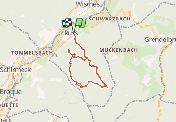
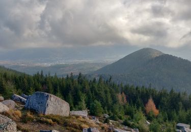
Randonnée Marche de 15,1 km à découvrir à Grand Est, Bas-Rhin, Russ. Cette randonnée est proposée par VacheKiri67.
Balisage : triangle bleu - anneau vert.
Faite le 14/10/2012 en 5h15 (dont 0h25 de pause au superbe abri de la Marbrière) avec notre fils de 8 ans.
La durée rallongée et les zigzags proviennent de la cueillette de champignons ! Sa durée annoncée étant de 4h30.
Plus de détails : Passion Vosges - La Haute-Bruche N°13 Page 67 : Le circuit des roches.


Marche

Marche

Marche
Marche
Randonnée équestre
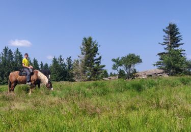
Randonnée équestre
Marche

Randonnée équestre
Marche
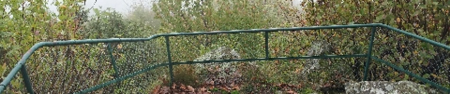
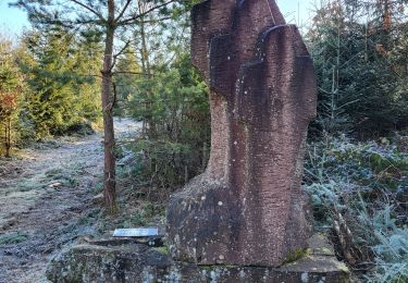
Le superbe abri de la Marbrière permet d'arriver au 2 étoiles.