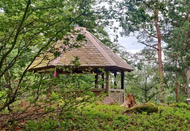
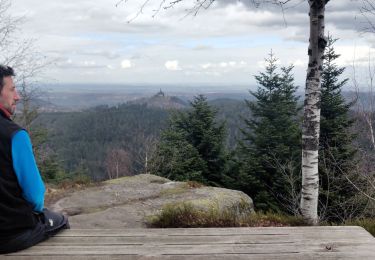
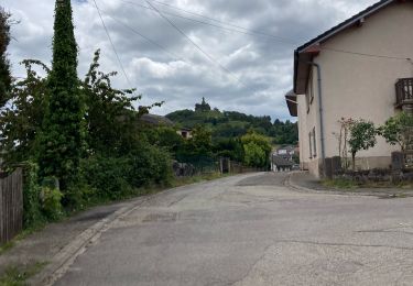
21 km | 32 km-effort
121007
Smu67
Utilisateur
Longueur
4,1 km
Altitude max
668 m
Dénivelé positif
64 m
Km-Effort
5 km
Altitude min
610 m
Dénivelé négatif
65 m
Boucle
Oui
Date de création :
2014-12-10 00:00:00.0
Dernière modification :
2014-12-10 00:00:00.0
1h26
Difficulté : Facile
Application GPS de randonnée GRATUITE
À propos
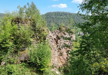
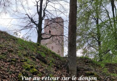
Randonnée Marche de 4,1 km à découvrir à Grand Est, Bas-Rhin, Wangenbourg-Engenthal. Cette randonnée est proposée par Smu67.
Localisation
Pays :
France
Région :
Grand Est
Département/Province :
Bas-Rhin
Commune :
Wangenbourg-Engenthal
Localité :
Unknown
Départ:(Dec)
Départ:(UTM)
374379 ; 5390105 (32U) N.
Commentaires
Randonnées à proximité
2021-09-01 Marche Reinhardsmunster Haut Barr
Marche
Très difficile
Reinhardsmunster,
Grand Est,
Bas-Rhin,
France
6h 39min
Oui
2020-06-13 Marche Ditschelkopf Schweizerberg
Marche
Très facile
Reinhardsmunster,
Grand Est,
Bas-Rhin,
France
14,5 km | 22 km-effort
4h 52min
Oui
2020-03-14 Marche Engenthal le bas
Marche
Très facile
Wangenbourg-Engenthal,
Grand Est,
Bas-Rhin,
France
14,3 km | 22 km-effort
4h 27min
Oui
2017-02-24 Marche Schneeberg
Marche
Très facile
(1)
Wangenbourg-Engenthal,
Grand Est,
Bas-Rhin,
France
12,8 km | 19,9 km-effort
Inconnu
Oui
Balcon de Dabo 2010
V.T.T.
Très difficile
(1)
Dabo,
Grand Est,
Moselle,
France
39 km | 54 km-effort
4h 30min
Oui
obersteigen
Marche
Difficile
Wangenbourg-Engenthal,
Grand Est,
Bas-Rhin,
France
44 km | 59 km-effort
5h 56min
Non
Tour de dabo Tivio Joyeux
Randonnée équestre
Moyen
Dabo,
Grand Est,
Moselle,
France
18 km | 25 km-effort
3h 14min
Non
ARCA WANGENBOURG
Marche
Moyen
Wangenbourg-Engenthal,
Grand Est,
Bas-Rhin,
France
13,2 km | 19 km-effort
4h 19min
Oui
20230426_rando_Wangenbourg_Chateaux de Freudeneck_Cascade-de-Mencke_Heidensch...
Marche
Moyen
(1)
Wangenbourg-Engenthal,
Grand Est,
Bas-Rhin,
France
14,1 km | 22 km-effort
4h 56min
Oui