


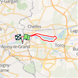

15,9 km | 17,1 km-effort


Utilisateur


Application GPS de randonnée GRATUITE
 SityTrail
IGN / Instituts géographiques
SityTrail World
Le monde est à vous
Randonnée Vélo de 16,1 km à découvrir à Île-de-France, Seine-Saint-Denis, Noisy-le-Grand. Cette randonnée est proposée par pkermaidic.
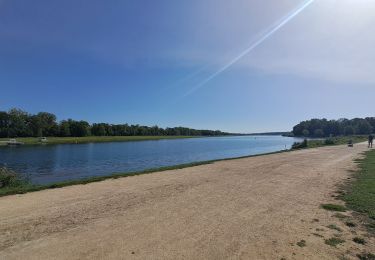
Ballade sympa à vélo sur les bords de Marne; attention aux dimanches où les pistes cyclables sont très empruntées.
Marche

Marche

Marche

Marche
Marche
Marche

Marche
Marche
Marche