


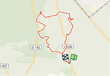

18 km | 22 km-effort

Utilisateur


Application GPS de randonnée GRATUITE
 SityTrail
IGN / Instituts géographiques
SityTrail World
Le monde est à vous
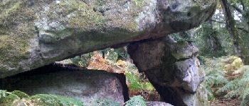
Randonnée Marche de 9,8 km à découvrir à Île-de-France, Seine-et-Marne, Fontainebleau. Cette randonnée est proposée par randodan.
Les Gais Lurons du Mercredi . 26 septembre 2012 matin . Départ parking Cabaret Masson .
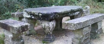
Denecourt 12, Table Gd Maître, Petit Mont, Butte Saint-Louis .
6 participants .
Pique-nique Cabaret Masson mais à 3 seulement .


Marche

Marche

Marche

Marche

Marche

Marche

Marche

A pied
Marche