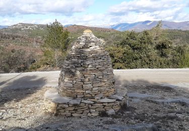
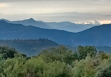
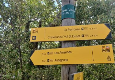
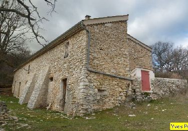
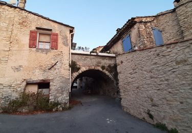
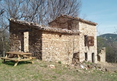
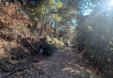
Randonnée V.T.T. Mallefougasse-Augès - L'alpes Provence - Photo
 BrunoPetignat
BrunoPetignat

Utilisateur

© OpenStreetMap contributors
Longueur
Longueur
39 km
Altitude max
Altitude max
1158 m
Dénivelé positif
Dénivelé positif
995 m
Km-Effort
Km-Effort  
53 km
Altitude min
Altitude min
540 m
Dénivelé négatif
Dénivelé négatif
1130 m
Boucle
Boucle
Non
Date de création :
2014-12-10 00:00:00.0
Dernière modification :
2014-12-10 00:00:00.0

(0 Avis)

V.T.T.
V.T.T.
3h58
Difficulté : Difficile

Scannez ce code QR pour ouvrir la randonnée dans l'application SityTrail

Application GPS de randonnée GRATUITE

Logo SityTrail SityTrail

IGN / Instituts géographiques

Télécharger SityTrail sur l'App Store Télécharger SityTrail sur Google Play

Logo SityTrail SityTrail World

Le monde est à vous

Télécharger SityTrail sur l'App Store Télécharger SityTrail sur Google Play Télécharger SityTrail sur Huawei AppGallery

À propos

Randonnée V.T.T. de 39 km à découvrir à Provence-Alpes-Côte d'Azur, Alpes-de-Haute-Provence, Mallefougasse-Augès. Cette randonnée est proposée par BrunoPetignat.

Description

Etape 3  1019/-1149

Profil altimétrique

Localisation

Pays :
France
Région :
Provence-Alpes-Côte d'Azur
Département/Province :
Alpes-de-Haute-Provence
Commune :
Mallefougasse-Augès
Localité :
Mallefougasse
Départ:(Dec)
Départ:(UTM)
732397 ; 4882908 (31T) N.

Randonnées à proximité

Randonnée Marche Montfort - MONTFORT.  Voie Royale . Chapelle saint Donat . Trou de l Hermite  o .t  - Photo
Marche
GUIDE
RobinMicheline

Marche

Moyen
(1)
Montfort, Provence-Alpes-Côte d'Azur, Alpes-de-Haute-Provence, France
11,8 km | 15,3 km-effort
2h 59min
Non
Randonnée Marche Châteauneuf-Val-Saint-Donat - CHÂTEAU NEUF VAL SAINT DONAT. Circuit des bories o l s - Photo
Marche
GUIDE
RobinMicheline

Marche

Moyen
(1)
Châteauneuf-Val-Saint-Donat, Provence-Alpes-Côte d'Azur, Alpes-de-Haute-Provence, France
6,6 km | 9,6 km-effort
1h 57min
Oui
Randonnée Marche Châteauneuf-Val-Saint-Donat - CHÂTEAU NEUF VAL SAINT DONAT . Vieux village , voie Romaine o l s o - Photo
Marche
GUIDE
RobinMicheline

Marche

Facile
(1)
Châteauneuf-Val-Saint-Donat, Provence-Alpes-Côte d'Azur, Alpes-de-Haute-Provence, France
7,8 km | 10 km-effort
1h 57min
Oui
Randonnée Marche Châteauneuf-Val-Saint-Donat - Bergeries en pierres sèches - Châteauneuf Val Saint Donat - Photo
Marche
tracegps

Marche

Moyen
(2)
Châteauneuf-Val-Saint-Donat, Provence-Alpes-Côte d'Azur, Alpes-de-Haute-Provence, France
7,6 km | 11,2 km-effort
2h 19min
Oui
Randonnée Marche Mallefougasse-Augès - MALEFOUGASSE La Ronde des Jas , Jas Figuiere  , Aubert , L Ami , Calais  , Trou Redon etc o - Photo
Marche
GUIDE
RobinMicheline

Marche

Moyen
(1)
Mallefougasse-Augès, Provence-Alpes-Côte d'Azur, Alpes-de-Haute-Provence, France
13,2 km | 20 km-effort
4h 23min
Oui
Randonnée Course à pied Peyruis - trail 29 07 2013 - Photo
Course à pied
zapi

Course à pied

Moyen
(1)
Peyruis, Provence-Alpes-Côte d'Azur, Alpes-de-Haute-Provence, France
13,5 km | 20 km-effort
1h 27min
Oui
Randonnée Marche Les Mées - LES MÉES. CHEMIN DES OLIVIERS. S APOLLINAIRE  N - Photo
Marche
GUIDE
RobinMicheline

Marche

Difficile
Les Mées, Provence-Alpes-Côte d'Azur, Alpes-de-Haute-Provence, France
10,1 km | 14,4 km-effort
2h 39min
Oui
Randonnée Marche Montlaux - montlaux.lablache - Photo
Marche
Roger

Marche

Moyen
Montlaux, Provence-Alpes-Côte d'Azur, Alpes-de-Haute-Provence, France
8,4 km | 11,8 km-effort
3h 6min
Oui
Randonnée Marche Peyruis - PEYRUIS . TOUR DU PRACONTEAU .CHAPELLE D AUGES O L M - Photo
Marche
GUIDE
RobinMicheline

Marche

Moyen
Peyruis, Provence-Alpes-Côte d'Azur, Alpes-de-Haute-Provence, France
15,6 km | 22 km-effort
4h 12min
Oui


Fermer
Mes abonnements