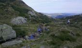
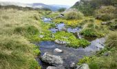
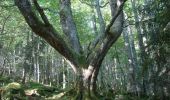
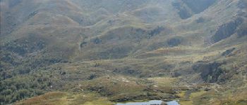
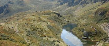
Randonnée Marche Rabat-les-Trois-Seigneurs - Pyrénées-120910 - EtangBleu - Photo

Pyrénées-120910 - EtangBleu

 randodan
randodan

Utilisateur

© OpenStreetMap contributors
Longueur
Longueur
11,9 km
Altitude max
Altitude max
1814 m
Dénivelé positif
Dénivelé positif
802 m
Km-Effort
Km-Effort  
23 km
Altitude min
Altitude min
1035 m
Dénivelé négatif
Dénivelé négatif
802 m
Boucle
Boucle
Oui
Date de création :
2014-12-10 00:00:00.0
Dernière modification :
2014-12-10 00:00:00.0

(1 Avis)

Marche
Marche
7h45
Difficulté : Moyen

Scannez ce code QR pour ouvrir la randonnée dans l'application SityTrail

Application GPS de randonnée GRATUITE

Logo SityTrail SityTrail
IGN / Instituts géographiques

Télécharger SityTrail sur l'App Store Télécharger SityTrail sur Google Play

Logo SityTrail SityTrail World
Le monde est à vous

Télécharger SityTrail sur l'App Store Télécharger SityTrail sur Google Play Télécharger SityTrail sur Huawei AppGallery

À propos

Randonnée Marche de 11,9 km à découvrir à Occitanie, Ariège, Rabat-les-Trois-Seigneurs. Cette randonnée est proposée par randodan.

Description

2012 - Camp de base : Vicdessos - 10 sep -<br>
L´Étang Bleu des 3 Seigneurs (boucle).<br>
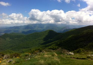
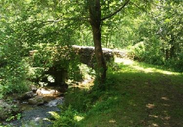
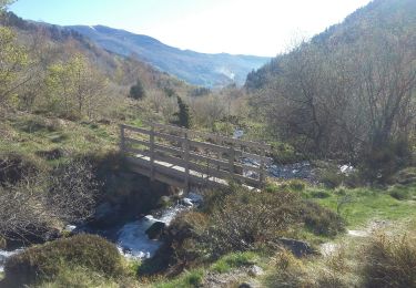
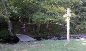
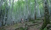
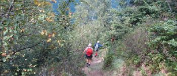
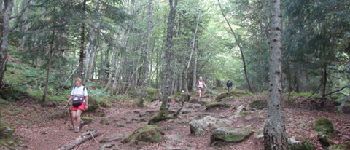
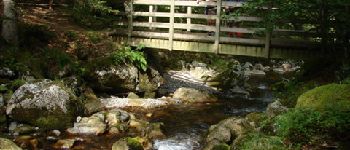
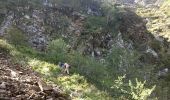
Départ parking terminal de la D223 (1022 m) 9h15 . Dans la clairière d´Embanels, aujourd’hui (lundi), y a plus personne . 10h, 1180 m, à la passerelle, cette fois on prends le bon sentier ;o).<br>
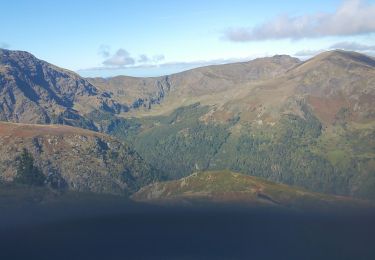
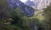
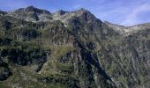
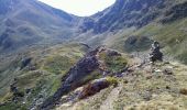
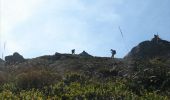
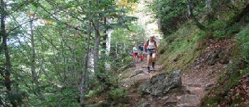
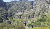
11h, 1460 m, après une raide grimpette en sous-bois suivie d´une approche découverte, débouchons au pied des vertigineuses falaises du Cirque d´Embans . S´en suit une autre grimpette qui nous mène sur la crête calcinée (récemment) d´une moraine à 1822 m.<br>
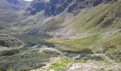
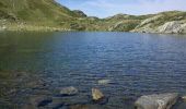
1/4h plus tard, midi et demi, nous arrivons enfin à l’Étang Bleu <i>(Blaou de son ancien nom)</i>, 1785 m, pour le pique-nique . Mais de "Bleu", il n´en a que le nom !<br>
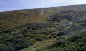
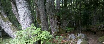
14h15, rechaussés, on redescend par la Jasse de l’Étang Bleu et le Bois Debès du Ressec . Au passage, il y aura bien sûr des myrtilles ! 17h à la voiture.<br>
D JL Mir Dan.

Profil altimétrique

Photos

30 photos au total. Cliquez sur une photo pour les afficher toutes dans la galerie.

Points d'intérêt

Point d'intérêt Rabat-les-Trois-Seigneurs - 01 - Montée à l'Étang Bleu - Photo
randodan
RABAT-LES-TROIS-SEIGNEURS 
Point d'intérêt Rabat-les-Trois-Seigneurs - 02 - Montée à l'Étang Bleu - Photo
randodan
RABAT-LES-TROIS-SEIGNEURS 
Point d'intérêt Rabat-les-Trois-Seigneurs - 03 - Montée à l'Étang Bleu - Photo
randodan
RABAT-LES-TROIS-SEIGNEURS 
Point d'intérêt Rabat-les-Trois-Seigneurs - 06 - Montée à l'Étang Bleu - Photo
randodan
RABAT-LES-TROIS-SEIGNEURS 
Point d'intérêt Rabat-les-Trois-Seigneurs - 07 - Montée à l'Étang Bleu - Photo
randodan
RABAT-LES-TROIS-SEIGNEURS 
Point d'intérêt Rabat-les-Trois-Seigneurs - 09 - Montée à l'Étang Bleu - Photo
randodan
RABAT-LES-TROIS-SEIGNEURS 
Point d'intérêt Rabat-les-Trois-Seigneurs - 10 - Montée à l'Étang Bleu - Photo
randodan
RABAT-LES-TROIS-SEIGNEURS 
Point d'intérêt Rabat-les-Trois-Seigneurs - 12 - Montée à l'Étang Bleu - Photo
randodan
RABAT-LES-TROIS-SEIGNEURS 
Point d'intérêt Rabat-les-Trois-Seigneurs - 12bis - Montée à l'Étang Bleu - Photo
randodan
RABAT-LES-TROIS-SEIGNEURS 
Point d'intérêt Rabat-les-Trois-Seigneurs - 12ter - Montée à l'Étang Bleu - Photo
randodan
RABAT-LES-TROIS-SEIGNEURS 
Point d'intérêt Rabat-les-Trois-Seigneurs - 14 - Montée à l'Étang Bleu - Photo
randodan
RABAT-LES-TROIS-SEIGNEURS 
Point d'intérêt Rabat-les-Trois-Seigneurs - 16 - A l'Étang Bleu	 - Photo
randodan
RABAT-LES-TROIS-SEIGNEURS 
Point d'intérêt Rabat-les-Trois-Seigneurs - 17 - A l'Étang Bleu - Photo
randodan
RABAT-LES-TROIS-SEIGNEURS 
Point d'intérêt Rabat-les-Trois-Seigneurs - 18 - Descente de l'Étang Bleu - Photo
randodan
RABAT-LES-TROIS-SEIGNEURS 
Point d'intérêt Rabat-les-Trois-Seigneurs - 20 - Descente de l'Étang Bleu - Photo
randodan
RABAT-LES-TROIS-SEIGNEURS 
Point d'intérêt Rabat-les-Trois-Seigneurs - 22 - Descente de l'Étang Bleu - Photo
randodan
RABAT-LES-TROIS-SEIGNEURS 
Point d'intérêt Rabat-les-Trois-Seigneurs - 24bis - Descente de l'Étang Bleu - Photo
randodan
RABAT-LES-TROIS-SEIGNEURS 
Point d'intérêt Rabat-les-Trois-Seigneurs - 04 - Montée à l'Étang Bleu - Photo
randodan
RABAT-LES-TROIS-SEIGNEURS 
Point d'intérêt Rabat-les-Trois-Seigneurs - 05 - Montée à l'Étang Bleu - Photo
randodan
RABAT-LES-TROIS-SEIGNEURS 
Point d'intérêt Rabat-les-Trois-Seigneurs - 08 - Montée à l'Étang Bleu - Photo
randodan
RABAT-LES-TROIS-SEIGNEURS 
Point d'intérêt Rabat-les-Trois-Seigneurs - 11 - Montée à l'Étang Bleu - Photo
randodan
RABAT-LES-TROIS-SEIGNEURS 
Point d'intérêt Rabat-les-Trois-Seigneurs - 13 - Montée à l'Étang Bleu - Photo
randodan
RABAT-LES-TROIS-SEIGNEURS 
Point d'intérêt Rabat-les-Trois-Seigneurs - 15 - Montée à l'Étang Bleu - Photo
randodan
RABAT-LES-TROIS-SEIGNEURS 
Point d'intérêt Rabat-les-Trois-Seigneurs - 19 - Descente de l'Étang Bleu - Photo
randodan
RABAT-LES-TROIS-SEIGNEURS 
Point d'intérêt Rabat-les-Trois-Seigneurs - 21 - Descente de l'Étang Bleu - Photo
randodan
RABAT-LES-TROIS-SEIGNEURS 
Point d'intérêt Rabat-les-Trois-Seigneurs - 23 - Descente de l'Étang Bleu - Photo
randodan
RABAT-LES-TROIS-SEIGNEURS 
Point d'intérêt Rabat-les-Trois-Seigneurs - 24 - Descente de l'Étang Bleu - Photo
randodan
RABAT-LES-TROIS-SEIGNEURS 
Point d'intérêt Rabat-les-Trois-Seigneurs - 25 - Descente de l'Étang Bleu - Photo
randodan
RABAT-LES-TROIS-SEIGNEURS 
Point d'intérêt Rabat-les-Trois-Seigneurs - 26 - Descente de l'Étang Bleu - Photo
randodan
RABAT-LES-TROIS-SEIGNEURS 
Point d'intérêt Rabat-les-Trois-Seigneurs - 27 - Descente de l'Étang Bleu	 - Photo
randodan
RABAT-LES-TROIS-SEIGNEURS 

Localisation

Pays :
France
Région :
Occitanie
Département/Province :
Ariège
Commune :
Rabat-les-Trois-Seigneurs
Localité :
Unknown
Départ:(Dec)
Départ:(UTM)
376213 ; 4744196 (31T) N.

Commentaires

Veuillez vous connecter pour laisser un commentaire ou une note


Randonnées à proximité

Randonnée Marche Gourbit - 04/06/2014 Rando Etang d'Artax - Photo
Marche
chrisbal

Marche

Difficile
(1)
Gourbit, Occitanie, Ariège, France
10,8 km | 24 km-effort
2h 53min
Oui
Randonnée Marche Rabat-les-Trois-Seigneurs - Cirque D'Embans - Photo
Marche
minakara

Marche

Moyen
(2)
Rabat-les-Trois-Seigneurs, Occitanie, Ariège, France
8,8 km | 18,4 km-effort
3h 52min
Oui
Randonnée A pied Gourbit - Étang d'Artax - Photo
A pied
GUIDE+

A pied

Facile
Gourbit, Occitanie, Ariège, France
4,3 km | 12,3 km-effort
2h 47min
Non
Randonnée Marche Rabat-les-Trois-Seigneurs - pic du Pioulou en boucle  - Photo
Marche
chrisgps

Marche

Difficile
Rabat-les-Trois-Seigneurs, Occitanie, Ariège, France
15,7 km | 32 km-effort
6h 45min
Non
Randonnée Marche Gourbit - Gourbit- rochers Carlong - Photo
Marche
pidjam

Marche

Moyen
Gourbit, Occitanie, Ariège, France
11,1 km | 19,7 km-effort
4h 15min
Oui
Randonnée Marche Gourbit - 22/04/2017 Rando Etang d'Artax - Photo
Marche
chrisbal

Marche

Difficile
(1)
Gourbit, Occitanie, Ariège, France
12,2 km | 25 km-effort
5h 4min
Oui
Randonnée Marche Saurat - balade sauratoise - Photo
Marche
bellouelo46

Marche

Moyen
Saurat, Occitanie, Ariège, France
11,3 km | 19,4 km-effort
3h 46min
Oui
Randonnée Marche Rabat-les-Trois-Seigneurs - Le Pic des Trois Seigneurs par l'étang bleu - La Freyte - Photo
Marche
tracegps

Marche

Très difficile
Rabat-les-Trois-Seigneurs, Occitanie, Ariège, France
16,8 km | 34 km-effort
7h 0min
Oui
Randonnée Marche Gourbit - Le Roc de Querquéou (Etang d'Artax - col de Lastrix) - Photo
Marche
tracegps

Marche

Très difficile
(1)
Gourbit, Occitanie, Ariège, France
10,3 km | 23 km-effort
5h 19min
Oui


Fermer
Mes abonnements