


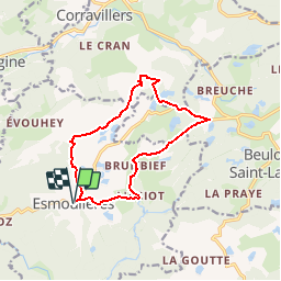

10,7 km | 13,9 km-effort


Utilisateur


Application GPS de randonnée GRATUITE
 SityTrail
IGN / Instituts géographiques
SityTrail World
Le monde est à vous
Randonnée Marche de 11,8 km à découvrir à Bourgogne-Franche-Comté, Haute-Saône, Esmoulières. Cette randonnée est proposée par ballet.
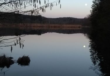
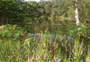
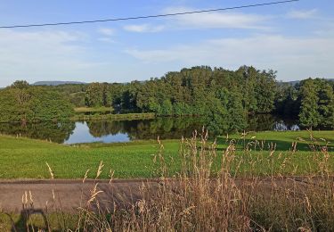
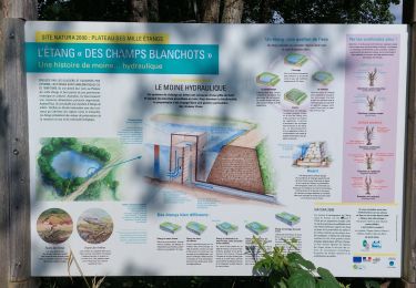
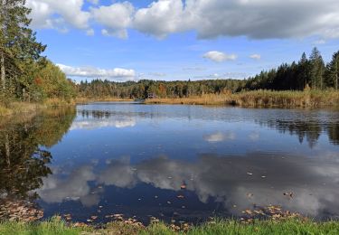
Comment se dépayser et se croire en Finlande? Tout simplement en allant se promener sur le plateau des mille étangs! Entre étangs, tourbières, paturages, bouleaux et sapin les paysages changent à chaque détour du sentier.

Marche
Marche

Marche
Marche
Marche
Marche
Marche


sport
Marche
Belle balade mais attention, certains passages n'empruntent pas de sentiers, il faut passer au milieu de prés avec des vaches.....
Plutôt la Normandie ...