26 km | 31 km-effort
ouessant
Chapatann
Utilisateur
Longueur
16,4 km
Altitude max
50 m
Dénivelé positif
146 m
Km-Effort
18,3 km
Altitude min
8 m
Dénivelé négatif
149 m
Boucle
Oui
Date de création :
2014-12-10 00:00:00.0
Dernière modification :
2014-12-10 00:00:00.0
--
Difficulté : Facile
Application GPS de randonnée GRATUITE
À propos
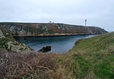
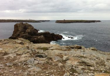
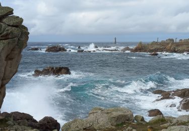
Randonnée Marche de 16,4 km à découvrir à Bretagne, Finistère, Ouessant. Cette randonnée est proposée par Chapatann.
Description
Dans les entrailles
Localisation
Pays :
France
Région :
Bretagne
Département/Province :
Finistère
Commune :
Ouessant
Localité :
Unknown
Départ:(Dec)
Départ:(UTM)
344885 ; 5369253 (30U) N.
Commentaires
Randonnées à proximité
Lampaul - Lampaul
Marche
Facile
Ouessant,
Bretagne,
Finistère,
France
10,4 km | 11,9 km-effort
3h 10min
Oui
Port Ouessant - Lampaul
Marche
Facile
Ouessant,
Bretagne,
Finistère,
France
8,9 km | 10,6 km-effort
2h 26min
Non
Côte Nord de l'ïle d'Ouessant
Marche
Moyen
Ouessant,
Bretagne,
Finistère,
France
18,3 km | 22 km-effort
4h 52min
Non
Tour d'Ouessant au départ du Stiff
Marche
Moyen
Ouessant,
Bretagne,
Finistère,
France
50 km | 58 km-effort
13h 18min
Oui
houassan île
Marche
Très facile
(1)
Ouessant,
Bretagne,
Finistère,
France
13,2 km | 15 km-effort
5h 11min
Non
121107 Ouessant
Autre activité
Très facile
Ouessant,
Bretagne,
Finistère,
France
18,8 km | 21 km-effort
4h 23min
Non
Ile d'Ouessant - rando gps
Marche
Très difficile
(1)
Ouessant,
Bretagne,
Finistère,
France
27 km | 31 km-effort
7h 0min
Oui
Pointe de Pern à Ouessant
Marche
Facile
Ouessant,
Bretagne,
Finistère,
France
11,6 km | 13,4 km-effort
3h 12min
Oui