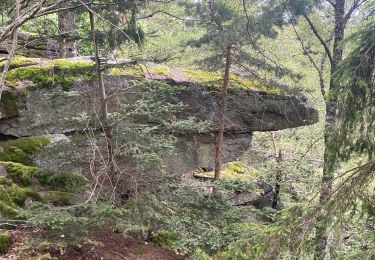
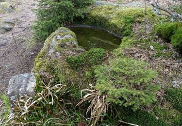
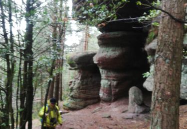
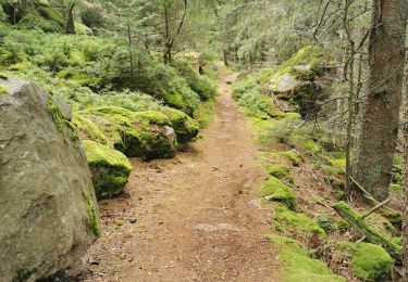
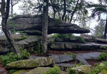
Randonnée Marche Sainte-Croix-aux-Mines - La Hajus - Photo
 Jempes
Jempes

Utilisateur

© OpenStreetMap contributors
Longueur
Longueur
5,1 km
Altitude max
Altitude max
418 m
Dénivelé positif
Dénivelé positif
182 m
Km-Effort
Km-Effort  
7,3 km
Altitude min
Altitude min
313 m
Dénivelé négatif
Dénivelé négatif
116 m
Boucle
Boucle
Non
Date de création :
2014-12-10 00:00:00.0
Dernière modification :
2014-12-10 00:00:00.0

(0 Avis)

Marche
Marche
--
Difficulté : Facile

Scannez ce code QR pour ouvrir la randonnée dans l'application SityTrail

Application GPS de randonnée GRATUITE

Logo SityTrail SityTrail

IGN / Instituts géographiques

Télécharger SityTrail sur l'App Store Télécharger SityTrail sur Google Play

Logo SityTrail SityTrail World

Le monde est à vous

Télécharger SityTrail sur l'App Store Télécharger SityTrail sur Google Play Télécharger SityTrail sur Huawei AppGallery

À propos

Randonnée Marche de 5,1 km à découvrir à Grand Est, Haut-Rhin, Sainte-Croix-aux-Mines. Cette randonnée est proposée par Jempes.

Description

Chapelle "Notre Dame des champs" et cimetière militaire

Profil altimétrique

Photos

Points d'intérêt

Point d'intérêt Sainte-Croix-aux-Mines - Chapelle de la Hajus - Photo
Jempes
SAINTE-CROIX-AUX-MINES 
Point d'intérêt Sainte-Croix-aux-Mines - Cimetière militaire de la Hajus - Photo
Jempes
SAINTE-CROIX-AUX-MINES 

Localisation

Pays :
France
Région :
Grand Est
Département/Province :
Haut-Rhin
Commune :
Sainte-Croix-aux-Mines
Localité :
Unknown
Départ:(Dec)
Départ:(UTM)
368516 ; 5346846 (32U) N.

Randonnées à proximité

Randonnée Marche Breitenau - Breitenau - Photo
Marche
LUTZMarc

Marche

Facile
(1)
Breitenau, Grand Est, Bas-Rhin, France
15,4 km | 22 km-effort
4h 59min
Oui
Randonnée sport Ribeauvillé - Grande verrerie - Rocher des Géants  - Photo
sport
berni68

sport

Très facile
Ribeauvillé, Grand Est, Haut-Rhin, France
9,3 km | 15,3 km-effort
Inconnu
Non
Randonnée Marche Sainte-Marie-aux-Mines - taenichel - Photo
Marche
apa

Marche

Moyen
Sainte-Marie-aux-Mines, Grand Est, Haut-Rhin, France
13,3 km | 19,1 km-effort
5h 26min
Oui
Randonnée Marche Sainte-Marie-aux-Mines - Col du Haut de Ribeauvillé - Rochers des Géants (Rother n°31) - Photo
Marche
Bart2015

Marche

Moyen
Sainte-Marie-aux-Mines, Grand Est, Haut-Rhin, France
15,3 km | 22 km-effort
3h 56min
Oui
Randonnée Marche Rombach-le-Franc - Col de Fouchy  - Photo
Marche
apa

Marche

Moyen
Rombach-le-Franc, Grand Est, Haut-Rhin, France
11,8 km | 17,6 km-effort
3h 23min
Oui
Randonnée Marche Lièpvre - Liépvre - Roche des Fées, Roche de Chalmont, Rocher du Coucou, château du Frankenbourg - Photo
Marche
Bart2015

Marche

Difficile
Lièpvre, Grand Est, Haut-Rhin, France
19,4 km | 31 km-effort
5h 53min
Oui
Randonnée Marche Ribeauvillé - boucle la grande verrerie-roche des 3 tables-roche des reptiles-roche des géants-la grande verrerie  - Photo
Marche
fbienmuller

Marche

Moyen
(1)
Ribeauvillé, Grand Est, Haut-Rhin, France
15 km | 23 km-effort
4h 24min
Oui
Randonnée Marche Ribeauvillé - 2021-07-17 Marche La Grande Verrerie Taennchel - Photo
Marche
GUIDE
holtzv

Marche

Moyen
Ribeauvillé, Grand Est, Haut-Rhin, France
13,2 km | 21 km-effort
4h 41min
Oui
Randonnée Marche Thannenkirch - TAENCHEL CCA 200827 - Photo
Marche
Gatge

Marche

Très facile
Thannenkirch, Grand Est, Haut-Rhin, France
12,7 km | 18,7 km-effort
5h 2min
Oui


Fermer
Mes abonnements