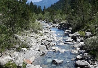
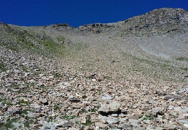
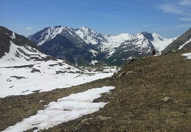
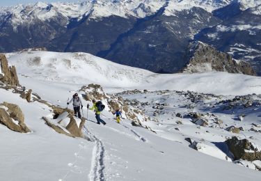
Randonnée Marche Saint-Clément-sur-Durance - La Gueste ( 2724m) - Photo
 chevallier
chevallier

Utilisateur

© OpenStreetMap contributors
Longueur
Longueur
12,2 km
Altitude max
Altitude max
2690 m
Dénivelé positif
Dénivelé positif
1230 m
Km-Effort
Km-Effort  
29 km
Altitude min
Altitude min
1520 m
Dénivelé négatif
Dénivelé négatif
1230 m
Boucle
Boucle
Oui
Date de création :
2014-12-10 00:00:00.0
Dernière modification :
2014-12-10 00:00:00.0

(1 Avis)

Marche
Marche
--
Difficulté : Difficile

Scannez ce code QR pour ouvrir la randonnée dans l'application SityTrail

Application GPS de randonnée GRATUITE

Logo SityTrail SityTrail

IGN / Instituts géographiques

Télécharger SityTrail sur l'App Store Télécharger SityTrail sur Google Play

Logo SityTrail SityTrail World

Le monde est à vous

Télécharger SityTrail sur l'App Store Télécharger SityTrail sur Google Play Télécharger SityTrail sur Huawei AppGallery

À propos

Randonnée Marche de 12,2 km à découvrir à Provence-Alpes-Côte d'Azur, Hautes-Alpes, Saint-Clément-sur-Durance. Cette randonnée est proposée par chevallier.

Profil altimétrique

Localisation

Pays :
France
Région :
Provence-Alpes-Côte d'Azur
Département/Province :
Hautes-Alpes
Commune :
Saint-Clément-sur-Durance
Localité :
Unknown
Départ:(Dec)
Départ:(UTM)
303130 ; 4949179 (32T) N.

Commentaires

Veuillez vous connecter pour laisser un commentaire ou une note


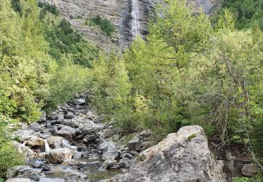
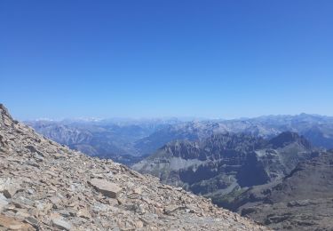
Très beau en automne avec les mélèzes en or. Vue superbe depuis l'arête. Rando sportive mais pas exposée. Forêt, cascades, lac, crêtes, cabanes, faune... tout y est.


Randonnées à proximité

Randonnée Marche Châteauroux-les-Alpes - Vallon du Rabioux - Photo
Marche
gildascb

Marche

Facile
Châteauroux-les-Alpes, Provence-Alpes-Côte d'Azur, Hautes-Alpes, France
12,1 km | 22 km-effort
4h 5min
Oui
Randonnée Marche Saint-Clément-sur-Durance - Pic de Rochelaire - Photo
Marche
GUIDE
David25400

Marche

Très difficile
Saint-Clément-sur-Durance, Provence-Alpes-Côte d'Azur, Hautes-Alpes, France
16 km | 37 km-effort
7h 21min
Oui
Randonnée Marche Réotier - Tête de Vautisse  - Photo
Marche
Forain

Marche

Difficile
Réotier, Provence-Alpes-Côte d'Azur, Hautes-Alpes, France
12 km | 23 km-effort
8h 19min
Oui
Randonnée Marche Châteauroux-les-Alpes - CR_Domitia_CH_19_Chateauroux-Alpes_Eygliers_20170913 - Photo
Marche
patrickdanilo

Marche

Difficile
Châteauroux-les-Alpes, Provence-Alpes-Côte d'Azur, Hautes-Alpes, France
17,9 km | 26 km-effort
5h 12min
Non
Randonnée Marche Saint-Clément-sur-Durance - La Cabane du Couleau - Photo
Marche
gildascb

Marche

Facile
(1)
Saint-Clément-sur-Durance, Provence-Alpes-Côte d'Azur, Hautes-Alpes, France
7,9 km | 14,5 km-effort
3h 18min
Oui
Randonnée Marche Châteauroux-les-Alpes - l'ALPET: Chapelle St Pierre/ porte du Distroit ( La Mari Passe) - Photo
Marche
BLANCHET

Marche

Difficile
Châteauroux-les-Alpes, Provence-Alpes-Côte d'Azur, Hautes-Alpes, France
3,6 km | 10,4 km-effort
2h 58min
Oui
Randonnée Marche Châteauroux-les-Alpes - Le Distroit. par Pied Brun - Photo
Marche
BLANCHET

Marche

Difficile
Châteauroux-les-Alpes, Provence-Alpes-Côte d'Azur, Hautes-Alpes, France
7,7 km | 19 km-effort
4h 4min
Non
Randonnée Ski de randonnée Réotier - crête des Prénetz - Photo
Ski de randonnée
GUIDE
orsel

Ski de randonnée

Moyen
Réotier, Provence-Alpes-Côte d'Azur, Hautes-Alpes, France
8,9 km | 19,6 km-effort
4h 56min
Non
Randonnée Ski de randonnée Châteauroux-les-Alpes - Tête de Clotinaille - Photo
Ski de randonnée
GUIDE
orsel

Ski de randonnée

Moyen
Châteauroux-les-Alpes, Provence-Alpes-Côte d'Azur, Hautes-Alpes, France
8,9 km | 22 km-effort
4h 50min
Non


Fermer
Mes abonnements