


17,5 km | 21 km-effort

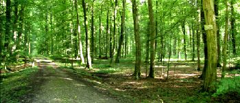
forêts de France


Application GPS de randonnée GRATUITE
 SityTrail
IGN / Instituts géographiques
SityTrail World
Le monde est à vous
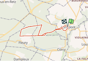
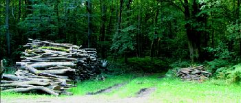
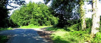
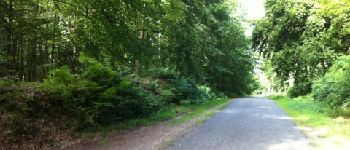
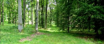
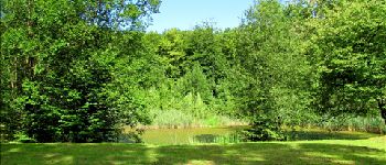
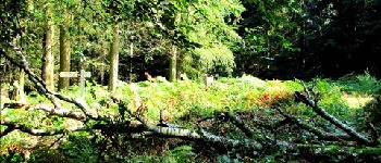
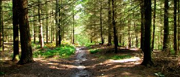
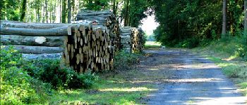
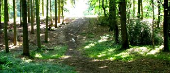
Randonnée Marche de 14,1 km à découvrir à Hauts-de-France, Aisne, Longpont. Cette randonnée est proposée par en forêt de Retz.
08/2012
voir aussi: https://foret-de-retz.over-blog.com/2017/03/en-foret-de-retz_5_08_2012_longpont_rond-d-orleans_ar.html
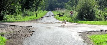
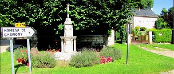
À partir de Longpont, GR11A, vieux chemin de Longpont jusqu''à la croix Bacquet, route du Pendu, puis prendre la laie des Rossignols jusqu''au rond d''Orleans. Suivre la route de Chavigny jusqu''au carrefour de Chavigny puis rejoindre la croix Bacquet par la route des Chamarts. Prendre le vieux chemin de Longpont, puis la route du pendu au carrefour du Renard jusqu''à château Fée. Prendre la laie de la grosse pierre jusqu''au vieux chemin de Longpont. Le continuer jusqu''à la D2 et retour à Longpont.


Marche

Marche

Marche

A pied

A pied

Marche

Marche

Marche

Marche