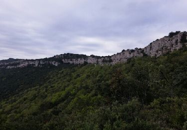
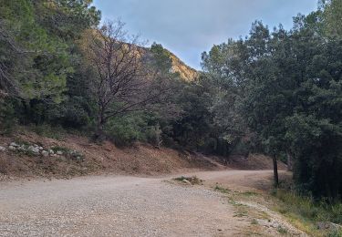
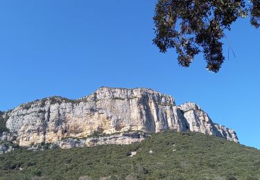
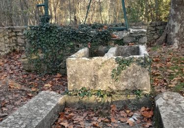
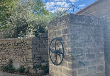
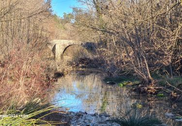
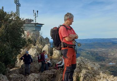
Randonnée Marche Saint-Mathieu-de-Tréviers - Lac de Ceceles - Photo
 Guiyom34
Guiyom34

Utilisateur

© OpenStreetMap contributors
Longueur
Longueur
3,9 km
Altitude max
Altitude max
223 m
Dénivelé positif
Dénivelé positif
115 m
Km-Effort
Km-Effort  
5,5 km
Altitude min
Altitude min
106 m
Dénivelé négatif
Dénivelé négatif
119 m
Boucle
Boucle
Oui
Date de création :
2014-12-10 00:00:00.0
Dernière modification :
2014-12-10 00:00:00.0

(1 Avis)

Marche
Marche
2h00
Difficulté : Inconnu

Scannez ce code QR pour ouvrir la randonnée dans l'application SityTrail

Application GPS de randonnée GRATUITE

Logo SityTrail SityTrail

IGN / Instituts géographiques

Télécharger SityTrail sur l'App Store Télécharger SityTrail sur Google Play

Logo SityTrail SityTrail World

Le monde est à vous

Télécharger SityTrail sur l'App Store Télécharger SityTrail sur Google Play Télécharger SityTrail sur Huawei AppGallery

À propos

Randonnée Marche de 3,9 km à découvrir à Occitanie, Hérault, Saint-Mathieu-de-Tréviers. Cette randonnée est proposée par Guiyom34.

Profil altimétrique

Localisation

Pays :
France
Région :
Occitanie
Département/Province :
Hérault
Commune :
Saint-Mathieu-de-Tréviers
Localité :
Unknown
Départ:(Dec)
Départ:(UTM)
570805 ; 4846418 (31T) N.

Commentaires

Veuillez vous connecter pour laisser un commentaire ou une note


À partir du couvent des dominicaines, le chemin est agréable, bien balisé et facile. Mais la descente vers le lac de Ceceles est très abrupte et glissante. Bonne condition obligatoire. Sinon il suffit de poursuivre le chemin qui redescend vers le couvent.


Randonnées à proximité

Randonnée Marche Valflaunès - l hortus - Photo
Marche
jeanfcd

Marche

Moyen
(2)
Valflaunès, Occitanie, Hérault, France
9,9 km | 15,1 km-effort
2h 26min
Oui
Randonnée Marche Sainte-Croix-de-Quintillargues - Ste Croix de Quintillargues - Photo
Marche
GUIDE
randotines

Marche

Moyen
(2)
Sainte-Croix-de-Quintillargues, Occitanie, Hérault, France
6,8 km | 8,3 km-effort
1h 48min
Oui
Randonnée Marche Valflaunès - l'Hortus crêtes  - Photo
Marche
GUIDE
nadinebondoux

Marche

Difficile
(1)
Valflaunès, Occitanie, Hérault, France
19 km | 27 km-effort
6h 5min
Oui
Randonnée A pied Guzargues - guzargues source counillière crête antenne  14.4kms 255md sens inverseénivelé - Photo
A pied
guiller

A pied

Très facile
(1)
Guzargues, Occitanie, Hérault, France
12,4 km | 15,8 km-effort
2h 30min
Oui
Randonnée sport Fontanès - Fontanes - Photo
sport
kephas

sport

Très facile
Fontanès, Occitanie, Hérault, France
7 km | 8,3 km-effort
Inconnu
Oui
Randonnée Marche Vacquières - chapelle D'Aleyrac vers vacquieres parc du duc - Photo
Marche
v.rabot

Marche

Difficile
Vacquières, Occitanie, Hérault, France
12,9 km | 15,3 km-effort
3h 28min
Oui
Randonnée Marche Saint-Mathieu-de-Tréviers - Autour du pic saint loup - Photo
Marche
labarone

Marche

Difficile
Saint-Mathieu-de-Tréviers, Occitanie, Hérault, France
16,1 km | 27 km-effort
7h 39min
Oui
Randonnée Marche Sainte-Croix-de-Quintillargues - St croix de quintillargues Mas du Greffier M’ont la Suque - Photo
Marche
boudpn

Marche

Difficile
Sainte-Croix-de-Quintillargues, Occitanie, Hérault, France
10,1 km | 14 km-effort
5h 44min
Oui
Randonnée Marche Saint-Mathieu-de-Tréviers - Sensei st mat - Photo
Marche
rio34740

Marche

Facile
Saint-Mathieu-de-Tréviers, Occitanie, Hérault, France
40 km | 45 km-effort
5h 15min
Non


Fermer
Mes abonnements