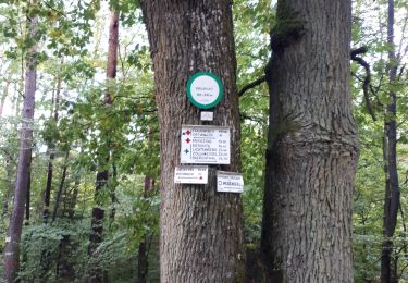
4,7 km | 6,2 km-effort
T20120610 Dim Ingwiller Petite-Pierre
johann.holl
Utilisateur
Longueur
31 km
Altitude max
379 m
Dénivelé positif
658 m
Km-Effort
39 km
Altitude min
188 m
Dénivelé négatif
658 m
Boucle
Oui
Date de création :
2014-12-10 00:00:00.0
Dernière modification :
2022-04-22 22:24:42.335
4h54
Difficulté : Facile
Application GPS de randonnée GRATUITE
À propos
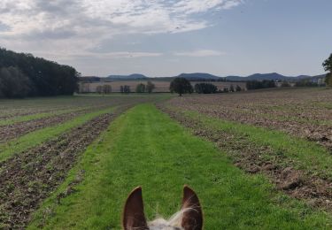
Randonnée Cheval de 31 km à découvrir à Grand Est, Bas-Rhin, Ingwiller. Cette randonnée est proposée par johann.holl.
Localisation
Pays :
France
Région :
Grand Est
Département/Province :
Bas-Rhin
Commune :
Ingwiller
Localité :
Unknown
Départ:(Dec)
Départ:(UTM)
387744 ; 5415550 (32U) N.
Commentaires
Randonnées à proximité
Triangle bleu
A pied
Facile
Weiterswiller,
Grand Est,
Bas-Rhin,
France
11,6 km | 17,3 km-effort
3h 56min
Non
Triangle jaune
A pied
Facile
Weiterswiller,
Grand Est,
Bas-Rhin,
France
14,6 km | 19,2 km-effort
4h 22min
Non
Chevalet rouge
A pied
Facile
Sparsbach,
Grand Est,
Bas-Rhin,
France
3,2 km | 5,1 km-effort
1h 9min
Non
Triangle vert
A pied
Facile
Wimmenau,
Grand Est,
Bas-Rhin,
France
10,4 km | 15,6 km-effort
3h 33min
Non
boucle Ingwiller /Lichtemberg
Marche
Moyen
Ingwiller,
Grand Est,
Bas-Rhin,
France
20 km | 27 km-effort
5h 9min
Oui
2019-10-13 Rando CVA Lichtenberg vers Weiterswiller
Randonnée équestre
Moyen
Lichtenberg,
Grand Est,
Bas-Rhin,
France
21 km | 28 km-effort
3h 24min
Non
BOUCLE ROTHBACH VERS COL DE STEIGE - RIVIERE VERS ROTHBACH
Randonnée équestre
Moyen
(2)
Rothbach,
Grand Est,
Bas-Rhin,
France
16,8 km | 24 km-effort
2h 56min
Oui