

promenade dans les sous bois de canejean.

sandrineh
Utilisateur

Longueur
10,6 km

Altitude max
62 m

Dénivelé positif
81 m

Km-Effort
11,7 km

Altitude min
34 m

Dénivelé négatif
82 m
Boucle
Oui
Date de création :
2014-12-10 00:00:00.0
Dernière modification :
2014-12-10 00:00:00.0
2h53
Difficulté : Très facile

Application GPS de randonnée GRATUITE
À propos
Randonnée Marche de 10,6 km à découvrir à Nouvelle-Aquitaine, Gironde, Canéjan. Cette randonnée est proposée par sandrineh.
Description
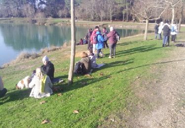
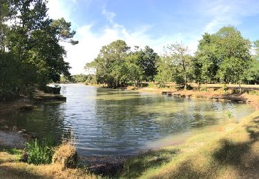
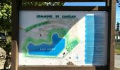
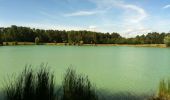
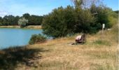
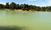
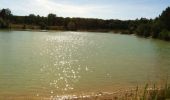
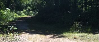
Promenade ombragée dans les bois de Cestas Canéjean en passant par le lac Vert.
Points d'intérêt
Localisation
Pays :
France
Région :
Nouvelle-Aquitaine
Département/Province :
Gironde
Commune :
Canéjan
Localité :
Unknown
Départ:(Dec)
Départ:(UTM)
683789 ; 4958927 (30T) N.
Commentaires
Randonnées à proximité
bourghail


Marche
Facile
(1)
Pessac,
Nouvelle-Aquitaine,
Gironde,
France

4,6 km | 4,9 km-effort
2h 16min
Oui

Balade à Gradignan


Marche
Très facile
(1)
Canéjan,
Nouvelle-Aquitaine,
Gironde,
France

3,8 km | 4,2 km-effort
1h 2min
Non
Le Bourgailh 2024-10-20 reco


Marche nordique
Moyen
(1)
Pessac,
Nouvelle-Aquitaine,
Gironde,
France

7,4 km | 8,1 km-effort
2h 6min
Oui
Le 11 juillet 2023


Voiture
Gradignan,
Nouvelle-Aquitaine,
Gironde,
France

41 km | 45 km-effort
4h 20min
Oui
Reco Pinoche 22/12/2021


Marche nordique
Très facile
Cestas,
Nouvelle-Aquitaine,
Gironde,
France

11,8 km | 13 km-effort
2h 58min
Oui

lac vert


Marche
Très facile
(1)
Canéjan,
Nouvelle-Aquitaine,
Gironde,
France

8,3 km | 9,4 km-effort
2h 16min
Non
rando


Autre activité
Très facile
Gradignan,
Nouvelle-Aquitaine,
Gironde,
France

13,5 km | 15 km-effort
3h 4min
Oui
entre Montsalut et les sources


Marche
Très facile
Cestas,
Nouvelle-Aquitaine,
Gironde,
France

4,6 km | 5,1 km-effort
1h 43min
Non
bois de l'eau Bourde.


Marche
Très facile
Canéjan,
Nouvelle-Aquitaine,
Gironde,
France

5 km | 5,5 km-effort
1h 37min
Oui


 SityTrail


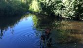
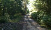
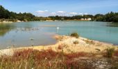
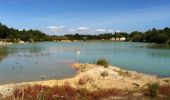


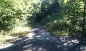

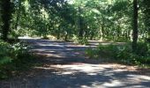



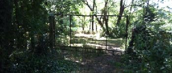
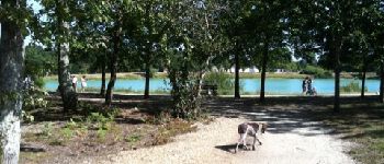
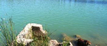


Ombragé, varié, très agréable, près de Bordeaux : je recommande fortement !Le plus : photos et commentaires qui agrémentent le parcours.Le moins ? l'auteur signale des moustiques le long de l'eau bourde. Mais je n'en ai personnellement pas croisé.