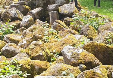
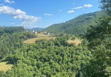
Randonnée Marche Murols - MUROLS _ de Feu et de Vent - Photo

MUROLS _ de Feu et de Vent

 Elbe
Elbe

Utilisateur

© OpenStreetMap contributors
Longueur
Longueur
2,7 km
Altitude max
Altitude max
684 m
Dénivelé positif
Dénivelé positif
86 m
Km-Effort
Km-Effort  
3,8 km
Altitude min
Altitude min
602 m
Dénivelé négatif
Dénivelé négatif
80 m
Boucle
Boucle
Oui
Date de création :
2014-12-10 00:00:00.0
Dernière modification :
2014-12-10 00:00:00.0

(0 Avis)

Marche
Marche
45m
Difficulté : Facile

Scannez ce code QR pour ouvrir la randonnée dans l'application SityTrail

Application GPS de randonnée GRATUITE

Logo SityTrail SityTrail

IGN / Instituts géographiques

Télécharger SityTrail sur l'App Store Télécharger SityTrail sur Google Play

Logo SityTrail SityTrail World

Le monde est à vous

Télécharger SityTrail sur l'App Store Télécharger SityTrail sur Google Play Télécharger SityTrail sur Huawei AppGallery

À propos

Randonnée Marche de 2,7 km à découvrir à Occitanie, Aveyron, Murols. Cette randonnée est proposée par Elbe.

Description

Les sentiers de l'imaginaire
CARLADEZ - AVEYRON

L’âme du sentier :
Blaise le Dragon, Gardien du Feu, fait rêver les habiles sculpteurs de Murols et leur insuffle l'inspiration pour les créations que vous allez rencontrer tout au long de votre balade.
Elles sont créées à partir d'anciennes machines agricoles.

Départ : Devant la jolie petite Mairie du village.
Balisage : Flèches de fer forgé couleur feu

Profil altimétrique

Localisation

Pays :
France
Région :
Occitanie
Département/Province :
Aveyron
Commune :
Murols
Localité :
Unknown
Départ:(Dec)
Départ:(UTM)
466460 ; 4955841 (31T) N.

Randonnées à proximité

Randonnée Marche Lacroix-Barrez - a effacer - Photo
Marche
avdem

Marche

Facile
Lacroix-Barrez, Occitanie, Aveyron, France
1,8 km | 2,3 km-effort
40min
Non
Randonnée V.T.T. Murols - Le batut 1 - Photo
V.T.T.
Patrick Garcia

V.T.T.

Moyen
Murols, Occitanie, Aveyron, France
19,1 km | 30 km-effort
3h 18min
Oui
Randonnée Marche Lacroix-Barrez - 12_valon_ginolhac_2024 - Photo
Marche
jab31

Marche

Très difficile
Lacroix-Barrez, Occitanie, Aveyron, France
21 km | 34 km-effort
7h 39min
Non
Randonnée Marche Lacroix-Barrez - Vallon, les gorges de la Thruyère - Photo
Marche
jocelyneviel

Marche

Moyen
Lacroix-Barrez, Occitanie, Aveyron, France
8,3 km | 13,3 km-effort
2h 41min
Oui
Randonnée Quad Murols - Murols(12)/Figeac(46) - Photo
Quad
O.R.

Quad

Très facile
Murols, Occitanie, Aveyron, France
91 km | 117 km-effort
3h 43min
Non
Randonnée Trail Montsalvy - étang de riol le mont - Photo
Trail
kayakiste15

Trail

Très facile
Montsalvy, Auvergne-Rhône-Alpes, Cantal, France
6,5 km | 9,9 km-effort
42min
Non
Randonnée Autre activité Murols - Les Bois de Murols - Photo
Autre activité
Lacaze

Autre activité

Difficile
Murols, Occitanie, Aveyron, France
9,2 km | 15 km-effort
5min
Oui
Randonnée Marche Lacroix-Barrez - LACROIX-BARREZ _ du magma à la pierre 2) - Photo
Marche
Elbe

Marche

Facile
Lacroix-Barrez, Occitanie, Aveyron, France
5,9 km | 7,1 km-effort
1h 30min
Oui
Randonnée Marche Lacroix-Barrez - pleaux - Photo
Marche
catherineslater

Marche

Difficile
Lacroix-Barrez, Occitanie, Aveyron, France
11 km | 14,6 km-effort
3h 21min
Non


Fermer
Mes abonnements