


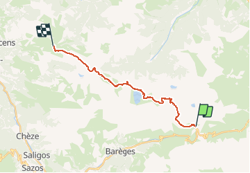


16 km | 34 km-effort


Utilisateur


Application GPS de randonnée GRATUITE
 SityTrail
IGN / Instituts géographiques
SityTrail World
Le monde est à vous
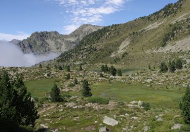
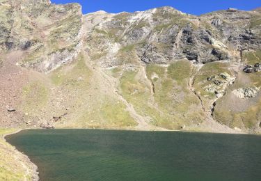
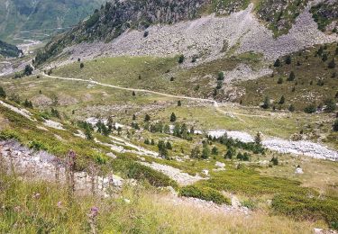
Randonnée Marche de 22 km à découvrir à Occitanie, Hautes-Pyrénées, Sers. Cette randonnée est proposée par romananus1er.
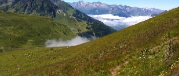
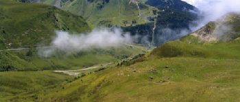
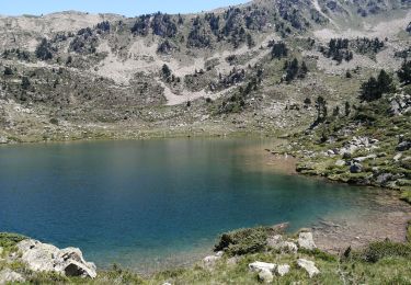
Randonnée au départ de la vallée de Barèges à Hautacam en passant par le Pic Crémat, le Lac Bleu, Le Pic de Bisourtère et le Lac d'Ourec


Marche

Marche

Randonnée équestre

Marche

Marche
Marche
A pied
Marche
Marche