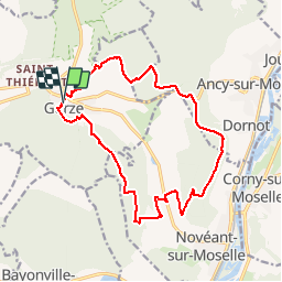


13,2 km | 17,8 km-effort

Utilisateur


Application GPS de randonnée GRATUITE
 SityTrail
IGN / Instituts géographiques
SityTrail World
Le monde est à vous
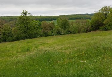
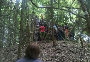
Randonnée Marche de 16,4 km à découvrir à Grand Est, Moselle, Gorze. Cette randonnée est proposée par pascalcla.
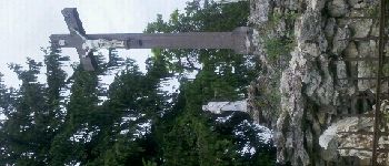
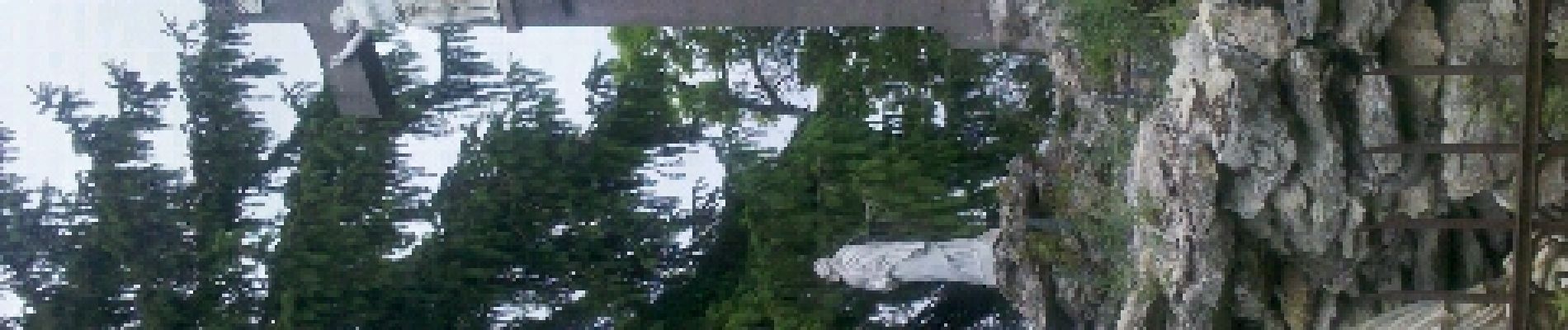
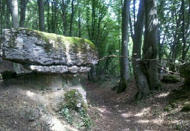
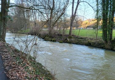
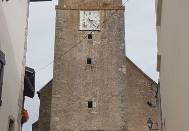
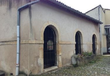
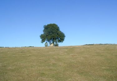
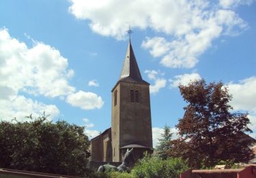
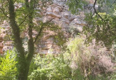
Parcours réel: Gorze, Chapelle Saint Clément, Rochers de la Fraze, Croix Saint Clément, Notre Dame de Gorze.
Parmi mes plus beau parcours dans la région.

Marche
Marche
Marche
V.T.T.
Vélo
Marche
Marche