


7,4 km | 11,5 km-effort


Utilisateur


Application GPS de randonnée GRATUITE
 SityTrail
IGN / Instituts géographiques
SityTrail World
Le monde est à vous
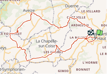
Randonnée V.T.T. de 25 km à découvrir à Auvergne-Rhône-Alpes, Rhône, Saint-Martin-en-Haut. Cette randonnée est proposée par tracegps.
Parking et départ du stade. Cette randonnée est organisée par le Club « VTT des Monts » de Saint-Martin-en-Haut et se déroule chaque année le 1er mai. Cette boucle, sans difficulté majeure, est agréablement rythmée par le doux vallonnement verdoyant des Monts du Lyonnais. Vos admirerez de beaux paysages et ses villages perchés sur les hauteurs.
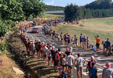
 / Saint-Martin-en-Haut - Photo 1")
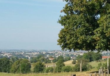
 / Saint-Martin-en-Haut - Photo 2")
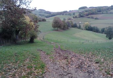
 / Saint-Martin-en-Haut - Photo 3")
 / Saint-Martin-en-Haut - Photo 4")
 / Saint-Martin-en-Haut - Photo 5")
 / Saint-Martin-en-Haut - Photo 6")

Marche

Marche

Marche

Marche
A pied
Marche nordique

Marche nordique

V.T.T.
Marche