


6,2 km | 13,3 km-effort

Utilisateur


Application GPS de randonnée GRATUITE
 SityTrail
IGN / Instituts géographiques
SityTrail World
Le monde est à vous
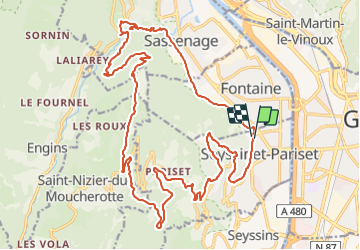
Randonnée V.T.T. de 28 km à découvrir à Auvergne-Rhône-Alpes, Isère, Seyssinet-Pariset. Cette randonnée est proposée par tracegps.
Circuit: Fontaine, banlieue de Grenoble. Départ Parc Karl Marx, montée direction Seyssinet, bois des Vouillants, Chemin du Génis, Prés Faure, Désert Jean Jacques Rousseau, la Tour Sans Venin, GR 9, Ancienne voie du tram, Les Guillet, Rochetiere, Les Roux, Charvet, Ferme Durand, Pont Charvet, Sassenage, Fontaine Parc Karl Marx.


Marche

Marche nordique

Marche nordique

Marche

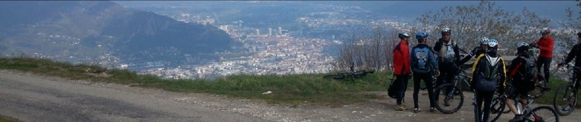
V.T.T.

Marche

Course à pied

Marche

V.T.T.