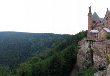
20 km | 29 km-effort
tour krauthergersheim
la_hulotte
Utilisateur
Longueur
20 km
Altitude max
181 m
Dénivelé positif
106 m
Km-Effort
22 km
Altitude min
148 m
Dénivelé négatif
104 m
Boucle
Oui
Date de création :
2014-12-10 00:00:00.0
Dernière modification :
2014-12-10 00:00:00.0
2h39
Difficulté : Inconnu
Application GPS de randonnée GRATUITE
À propos
Randonnée V.T.T. de 20 km à découvrir à Grand Est, Bas-Rhin, Obernai. Cette randonnée est proposée par la_hulotte.
Localisation
Pays :
France
Région :
Grand Est
Département/Province :
Bas-Rhin
Commune :
Obernai
Localité :
Unknown
Départ:(Dec)
Départ:(UTM)
388993 ; 5368902 (32U) N.
Commentaires
Randonnées à proximité
Sainte-Odile East-Face
V.T.T.
Difficile
(1)
Ottrott,
Grand Est,
Bas-Rhin,
France
24 km | 39 km-effort
3h 0min
Oui
Circuit du Vignoble
A pied
Facile
Rosheim,
Grand Est,
Bas-Rhin,
France
8,8 km | 11,7 km-effort
2h 38min
Oui
Circuit des Balcons
A pied
Facile
(1)
Bischoffsheim,
Grand Est,
Bas-Rhin,
France
12,4 km | 15,4 km-effort
3h 30min
Oui
schnacker tour le grand 8 circuit magique
V.T.T.
Difficile
(1)
Rosheim,
Grand Est,
Bas-Rhin,
France
29 km | 39 km-effort
2h 30min
Oui
2015-05-17 Marche Gourmande Rosenwiller
Marche
Facile
(1)
Rosenwiller,
Grand Est,
Bas-Rhin,
France
8,8 km | 11 km-effort
2h 23min
Non
Rosheim Grendelbruch
Vélo électrique
Moyen
Rosheim,
Grand Est,
Bas-Rhin,
France
49 km | 59 km-effort
3h 13min
Oui
un tour dans le vignoble Bischoffsheim
Vélo électrique
Très facile
Bischoffsheim,
Grand Est,
Bas-Rhin,
France
49 km | 57 km-effort
3h 25min
Non
240628 - Obernai - VVF-Nordberg
Marche
Moyen
Obernai,
Grand Est,
Bas-Rhin,
France
5,3 km | 6,8 km-effort
2h 17min
Oui