8,1 km | 10,8 km-effort
Ferrières ion
Leeuw
Utilisateur
Longueur
27 km
Altitude max
474 m
Dénivelé positif
613 m
Km-Effort
36 km
Altitude min
182 m
Dénivelé négatif
760 m
Boucle
Non
Date de création :
2014-12-10 00:00:00.0
Dernière modification :
2014-12-10 00:00:00.0
--
Difficulté : Moyen
Application GPS de randonnée GRATUITE
À propos
Randonnée V.T.T. de 27 km à découvrir à Wallonie, Luxembourg, Manhay. Cette randonnée est proposée par Leeuw.
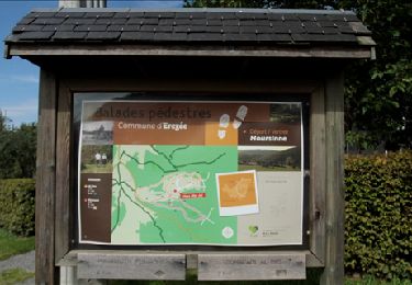
Localisation
Pays :
Belgique
Région :
Wallonie
Département/Province :
Luxembourg
Commune :
Manhay
Localité :
Harre
Départ:(Dec)
Départ:(UTM)
689771 ; 5582220 (31U) N.
Commentaires
Randonnées à proximité
Hoursinne. Natura 2000, des sites qui valent le détour. Lx 1
Marche
Difficile
(9)
Érezée,
Wallonie,
Luxembourg,
Belgique
2h 19min
Oui
RB-Lg-14_Chevron_via-racc
Marche
Très difficile
(5)
Stoumont,
Wallonie,
Liège,
Belgique
17 km | 24 km-effort
5h 28min
Oui
BOIS DE HARRE (Commune_de_MANHAY)
Marche
Moyen
(1)
Manhay,
Wallonie,
Luxembourg,
Belgique
13,5 km | 18,9 km-effort
4h 17min
Oui
Chêne al'Pierre (MANHAY)
Marche
Facile
(3)
Manhay,
Wallonie,
Luxembourg,
Belgique
12,8 km | 16,7 km-effort
3h 47min
Oui
RB-Lg-14_Chevron
Marche
Très difficile
(4)
Stoumont,
Wallonie,
Liège,
Belgique
22 km | 30 km-effort
6h 53min
Oui
Marche ADEPS BURNONTIGE (Ferrieres) 10/04/33
Marche
Moyen
(1)
Ferrières,
Wallonie,
Liège,
Belgique
15,4 km | 20 km-effort
3h 2min
Oui
Hoursine-Hoursine 12kms
Marche
Difficile
(1)
Érezée,
Wallonie,
Luxembourg,
Belgique
12,5 km | 17,1 km-effort
3h 37min
Oui
De deux Rys à Deux Rys
Marche
Facile
(1)
Manhay,
Wallonie,
Luxembourg,
Belgique
13,8 km | 19,3 km-effort
3h 33min
Oui
Chevron - rectangles vert - 8,2 km
Marche
Très facile
(1)
Stoumont,
Wallonie,
Liège,
Belgique
8,2 km | 10,6 km-effort
Inconnu
Oui
fort varié. superbe. on au bon de le faire!