


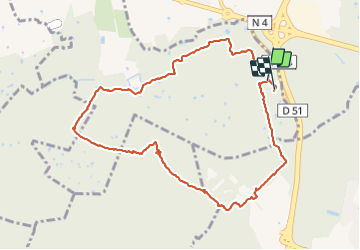

6 km | 6,6 km-effort


Utilisateur


Application GPS de randonnée GRATUITE
 SityTrail
IGN / Instituts géographiques
SityTrail World
Le monde est à vous
Randonnée Marche nordique de 10,2 km à découvrir à Île-de-France, Val-de-Marne, La Queue-en-Brie. Cette randonnée est proposée par pierre_mack.
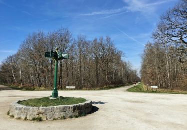
Randonnée agréable dans toute sa partie nord.
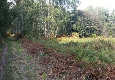
Terrain très boueux dans sa partie sud surtout depuis le centre hypique jusqu'à l'arrivée.

A pied
A pied

Marche
Marche

Marche
Marche

Marche
Marche
Marche