


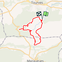

11,1 km | 17,8 km-effort


Utilisateur


Application GPS de randonnée GRATUITE
 SityTrail
IGN / Instituts géographiques
SityTrail World
Le monde est à vous
Randonnée Marche de 14,9 km à découvrir à Provence-Alpes-Côte d'Azur, Var, Tourves. Cette randonnée est proposée par phidge.
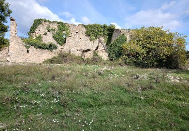
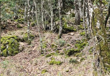
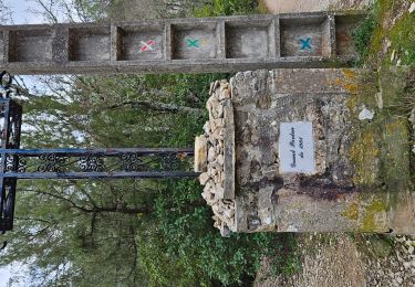
P2 T2 Très Beau
Départ un peu raide, ensuite pas de pb.
Longue marche au bord de l''eau, en été prévoir maillot de bain.

Marche

Marche

Marche

Marche

Marche

Marche
A pied
Marche
Marche